
| Rotuma Island | |
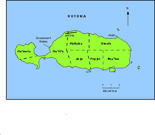 |

Rotuma
-
including Uea, Hatana, Hofliua [1434]
Group: Rotuma Group Archipelago: Fiji Islands
Country: Fiji
Region: Oceania 7
Lat: 12.50� S Long : 177.13� E
Area: 44.0 sq. km Altitude:
256 m
Submerged area <100 m: 200 sq. km Reef area: 0 sq. km Lagoon area: 0 sq. km
Depth to nearest land: 2000 m
Nearest island: 350 km
group: 500 km
Nearest continent: Australia Distance: 3000 km
Isolation Index: 96
ISLAND TYPE: volcanic Natural Protection Indicator: 1
GEOLOGY/SOILS:
Active shield volcano of alkali-olivine basalt and hawaiite with surface of lava flows,
scoria and tuffs of Recent and late Pleistocene age; main island of two parts connected by
sandy isthmus, with littoral and coastal terraces and central plateau (30-60 m) with steep
volcanic cones; last eruption since human settlement; one perennial stream; 3 small
volcanic islets and 5 reef islets, lagoon and barrier reef
CLIMATE: wet tropical 24-32�C,
3350 mm
WATER BALANCE: rare dry periods up to 3 months
CATASTROPHIC THREATS: cyclones, volcanic eruptions
Threat Indicator: 2
ECOSYSTEMS:
Number
of Ecosystems - Terrestrial: 5
Marine: 5
Some pockets of second growth lowland rain forest; rocky shore and beaches, sandy-mud bays
with seagrasses, some mangroves; fringing and barrier reefs Forest
Percent shoreline: Coral Reef: 98% Mangrove:
1%
Noa'ia 'e Mauri
|