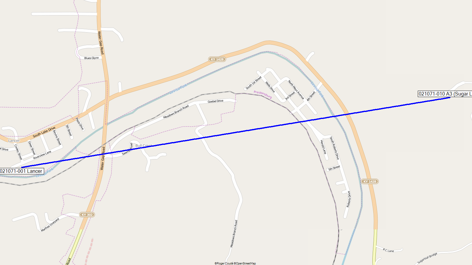
Click on the Link image and Map image to see them larger.
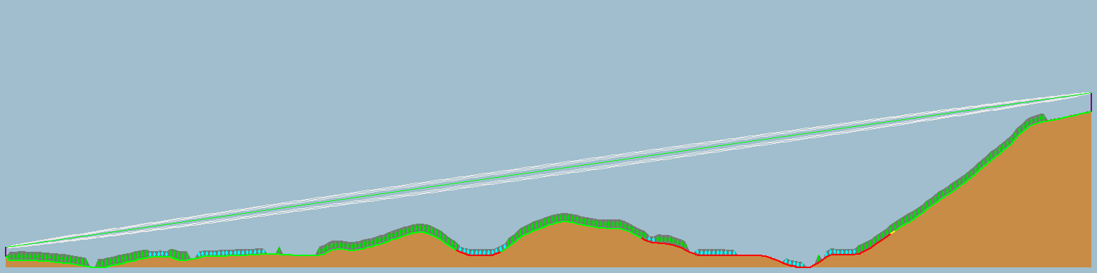
| Latitude | 37� 39'
55.92" 37.66553333� |
N |
| Longitude | 82� 44'
10.44" 82.73636111� |
W |
| Ground elevation | 634.000 193.243 |
Ft m |
| Antenna height | 49.213 15.000 |
Ft m |
| Azimuth | 80.71 TN | 87.61 MG | � |
| Tilt | 5.59 | � |
| Latitude | 37� 40'
10.01" 37.66944722� |
N |
| Longitude | 82� 42'
21.80" 82.70605556� |
W |
| Ground elevation | 1386.000 442.453 |
Ft m |
| Antenna height | 149.638 45.000 |
Ft m |
| Azimuth | 260.73 TN | 267.65 MG | � |
| Tilt | -5.61 | � |
| TX power | 30.00 | dBm |
| TX line loss | 0.00 | dB |
| TX antenna gain | 23.00 | dBi |
| RX antenna gain | 23.00 | dBi |
| RX line loss | 0.00 | dB |
| RX sensitivity | -113.02 | dBm |
| Free space loss | 116.37 | dB |
| Obstuction loss | -4.79 | dB |
| Forest loss | 0.00 | dB |
| Urban loss | 0.00 | dB |
| Statistical loss | 31.27 | dB |
| Total path loss | 142.85 | dB |
| Distance | 1.676 2.698 |
Mi km |
| Precision | 32.808 10.000 |
Ft m |
| Frequency | 5825.000 | Mcs. |
| Equivalent Isotropically Radiated Power | 199.526 | W |
| System gain | 189.02 | dB |
| Required reliability | 99.000 | % |
| Received Signal | -66.85 | dBm |
| Received Signal | 101.76 | μV |
| Fade Margin | 46.17 | dB |