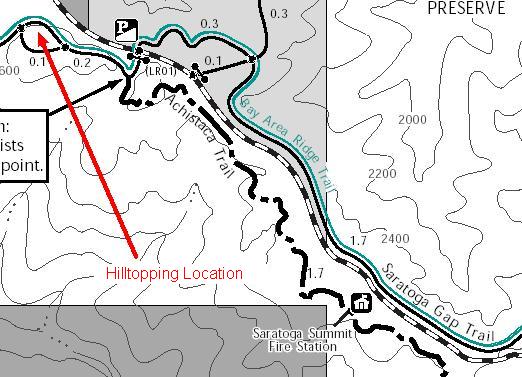
Here's part of the preserve map that shows the parking area and trail up to the top of the hill.
On the way back home from a hike in another location, I decided to make a quick trip up a hill (elevation 2693') that I've noticed on topographic maps. The hill is a short hike from a parking area off of Skyline Boulevard, just a little ways north of the CDF fire station north of the junction of Highways 9 & 35.
The hill looks to be one of the highest points in the Long Ridge Open Space Preserve. Click here for a map that shows the location of the hill relative to the South Bay. Click here to see the location of the hill on a topographic map.
|
Here's part of the preserve map that shows the parking area and trail up to the top of the hill. |
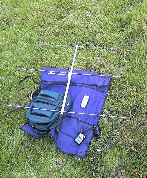 |
For this hilltopping excursion, I decided to use my new Arrow II Satellite antenna minus the UHF elements. This beam is handheld and only has 3 elements for 2m. My other Arrow antenna that I usually take hilltopping has 4 elements and a mount to attach it to a mast. I thought I would travel lighter this time and see how well this beam performed. The antenna is connected to my Vertex VX-150 2m handheld. I made several contacts into the South and East Bay. I also was able to contact Norm (KC6ZWT) in Eldorado (near Placerville). He was full-scale and full-quieting as usual and he reported my signal as S9. I was running the VX-150 at 5 watts at the time. . |
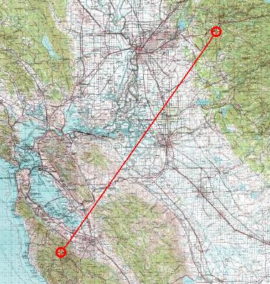 |
I think the reason I'm able to hear Norm (KC6ZWT) so well from hilltops around this area is because it's a straight shot through the pass where 680 goes over to Livermore as shown on this map. Also, Norm has some elevation at his home QTH, which doesn't hurt. :) |
 |
Here's the view to the east. The Mount Hamilton range can be seen in the distance. |
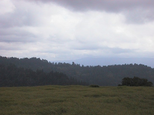 |
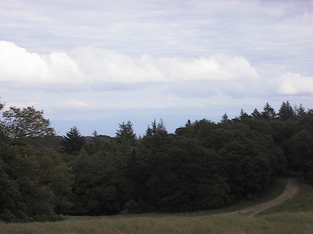
Here's the view to the south. |
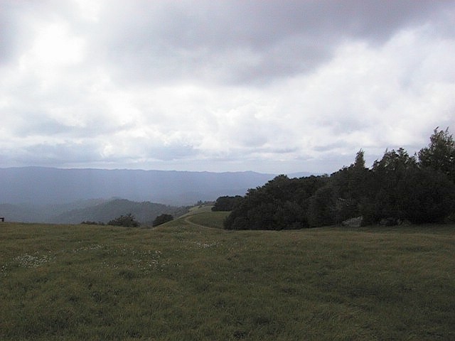 |
Here's the view to the west. One of the trails can be seen winding along in the foreground. I didn't get rained on while I was up on the hill, but it did rain later that evening after we got back home. |