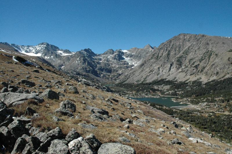
The scenic spot, without operator...
and with operator.
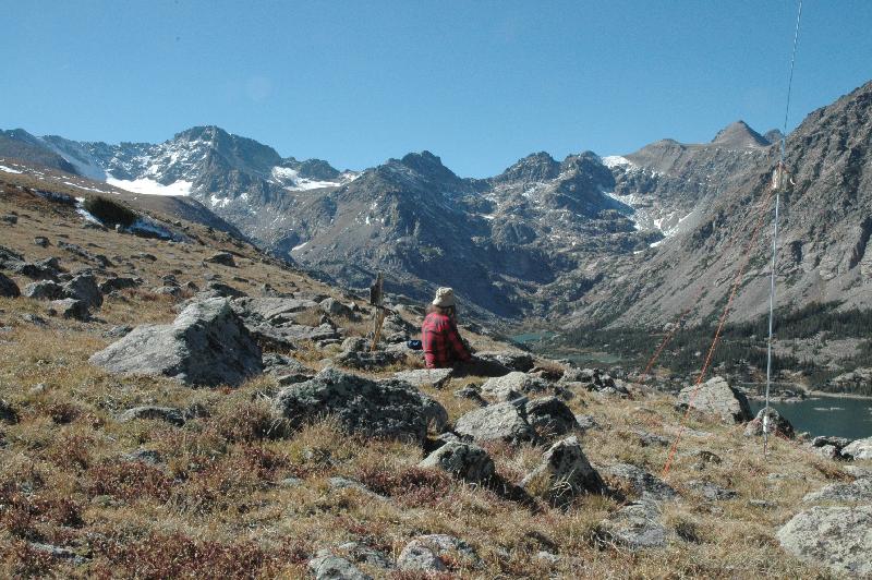
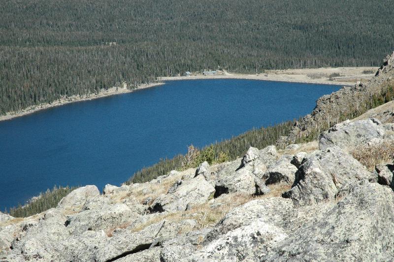
The lakes that follow are part of the private watershed of Boulder, Colorado. Trespassing is strictly forbidden, and signs line the trail here, warning of dire consequences. One sign is just behind the operator in the previous picture. This is Goose Lake, ...
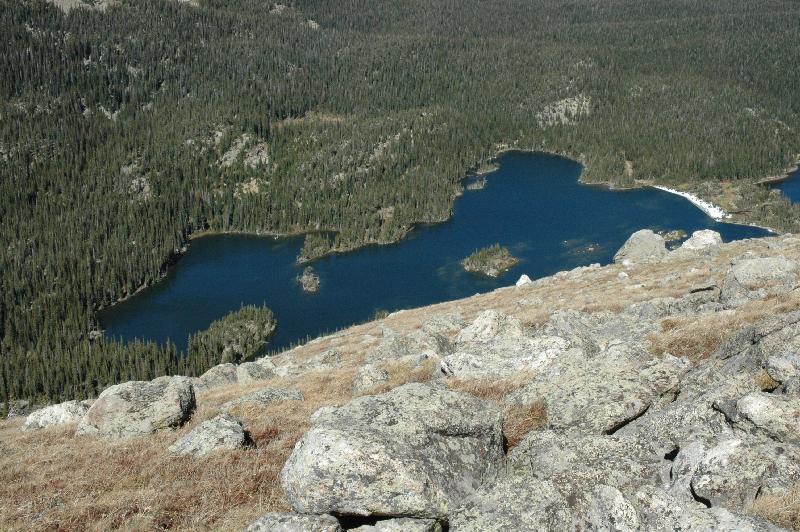
and Island Lake, ...
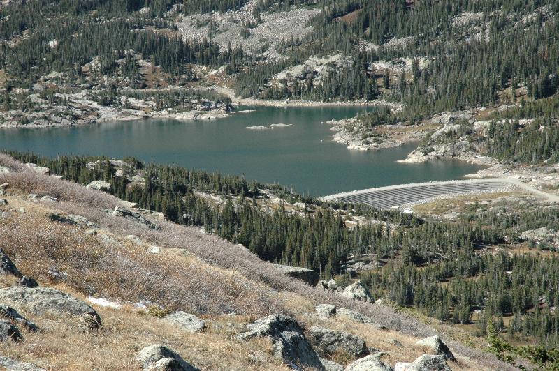
and Silver Lake. In the upper-middle of the image, near the beach, you might see a "lodge" complex, no doubt for the "rangers."
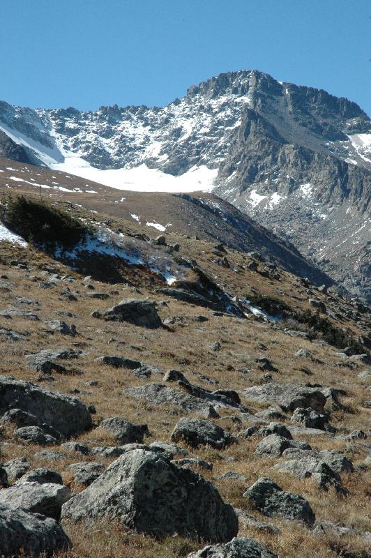
A nice permanent snowfield. The "peak" to the upper right of the snowfield is actually a buttress from North Arapaho Peak. Arapaho Glacier (also a permanent snowfield) is much more spectacular. Maybe next time.
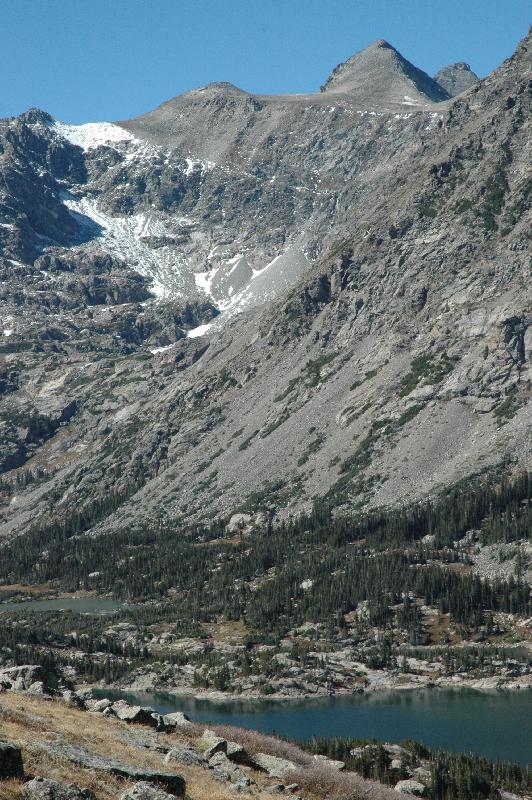
Arikaree Peak, with Navajo Peak just "peaking" into view. We are in the Indian Peaks Wilderness area, which explains the names of the mountains, or the name of the wilderness area (the wilderness designation came after the mountains were named).
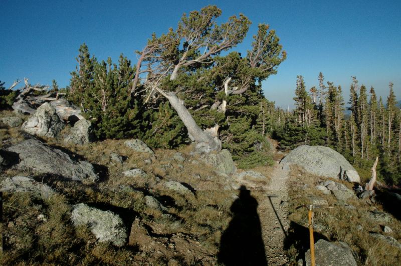
On the way out. Gnarly tree, dude!
Copyright 2006, Richard Lorenzen