
Guadalupe Mountains SOTA Expedition March 16, 2012
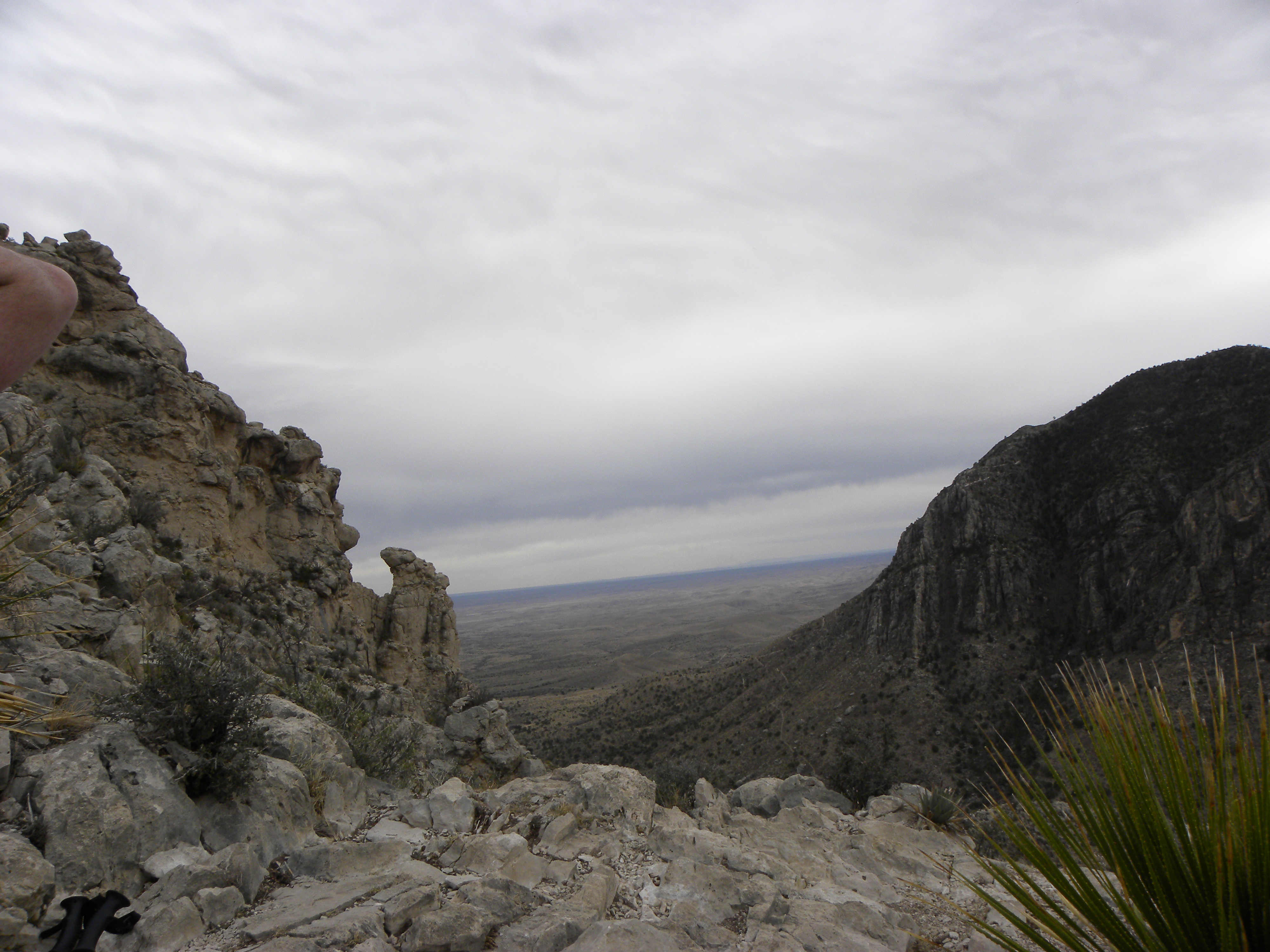
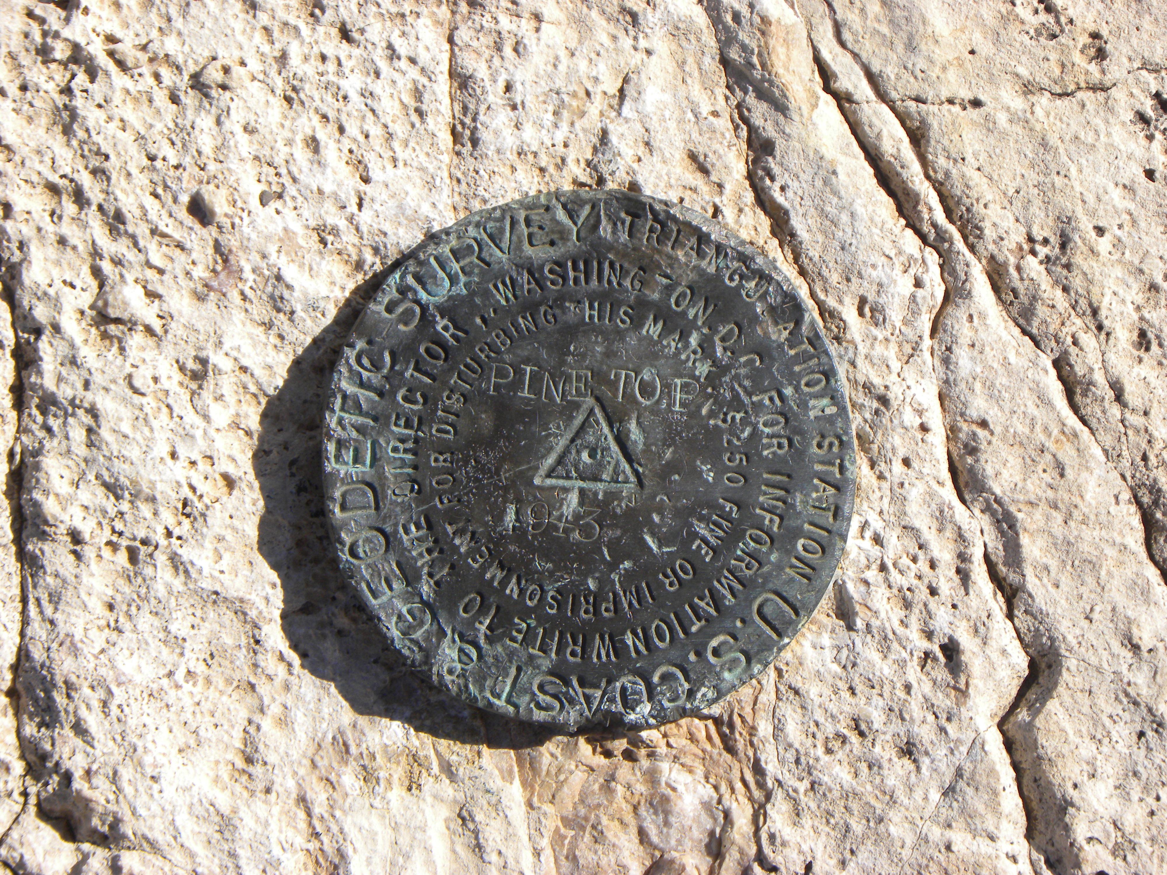
After checking in at the visitor's center and paying the backcountry fee ($5 per person), we started up the Tejas Trail Thursday afternoon and arrived at Pine Top Camp ground Thursday evening. The trail is steep in some places and very rocky. The rocks range in size from pea gravel to large pieces of crushed stone. Pine top Campground has a pretty good view of the peak, and is a great launch point for both Hunter Peak and Bush Mountain.
|
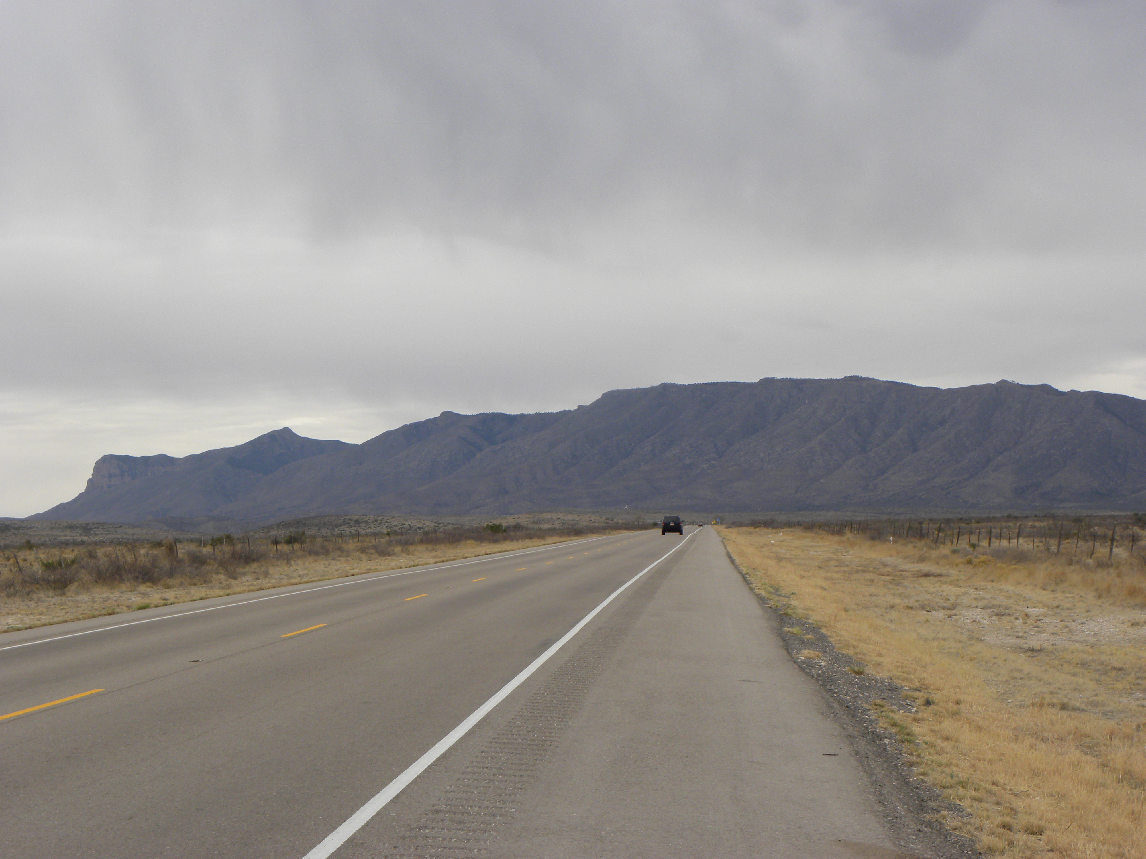
Driving South on US 62 from Carlsbad,
NM |
|
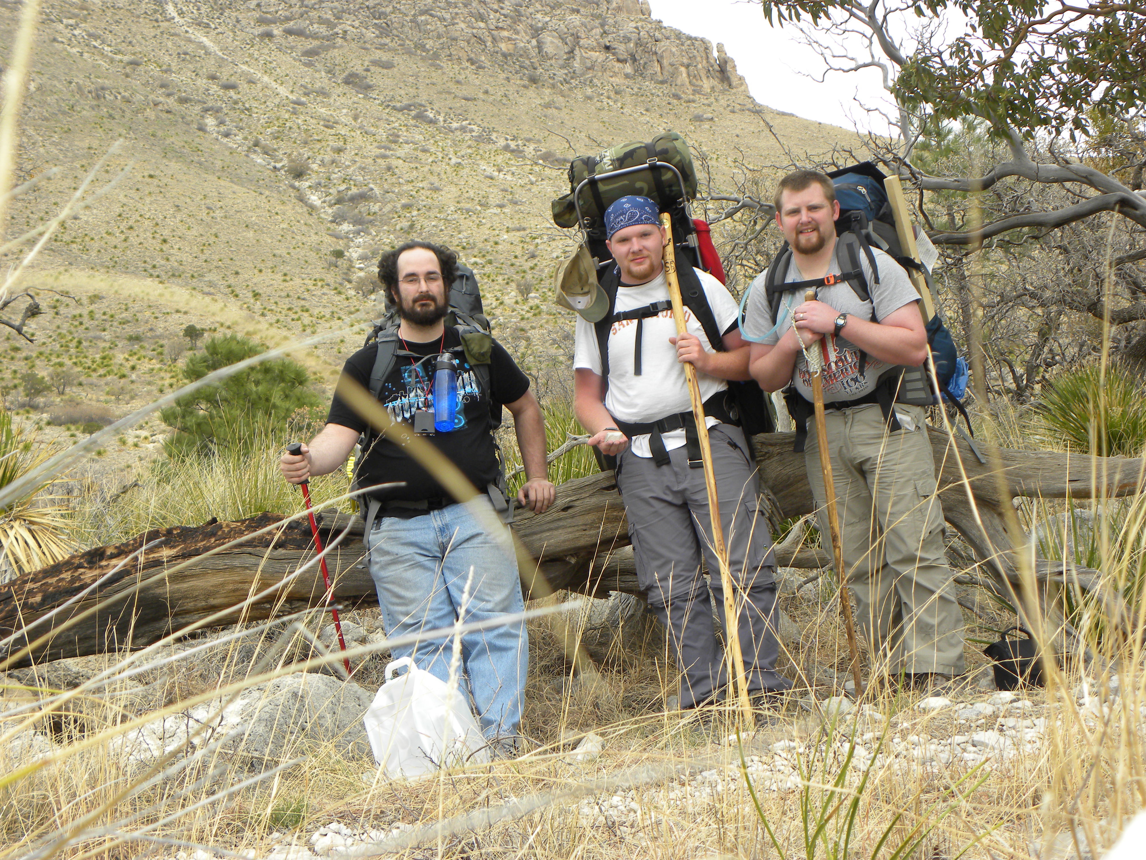
Jonathan, KF5IMB, Ben,
KF5PBB, and Me, W5SMD |
|
|
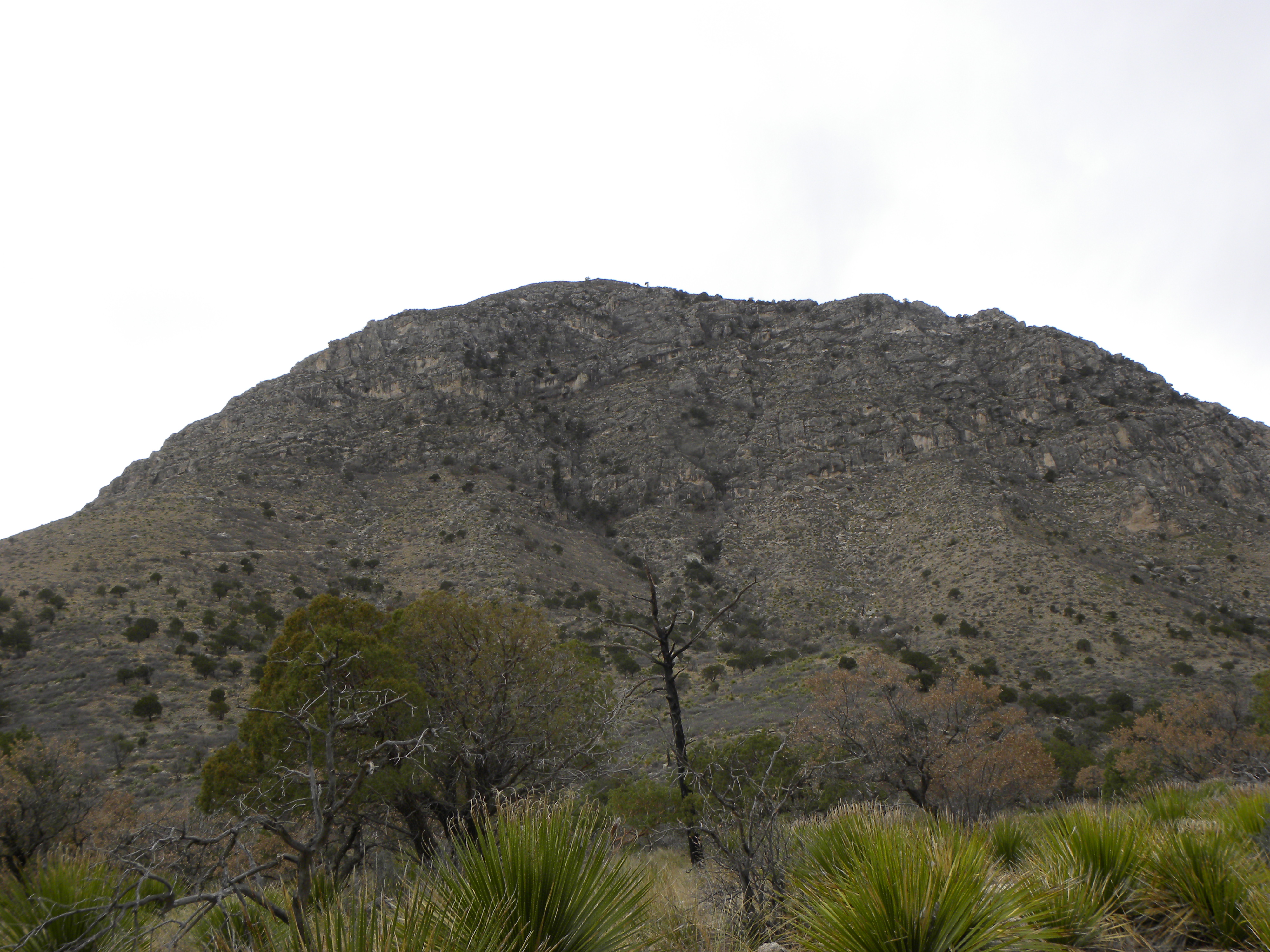
Guadalupe Peak from
the Tejas Trail |
|
|
|
|
|


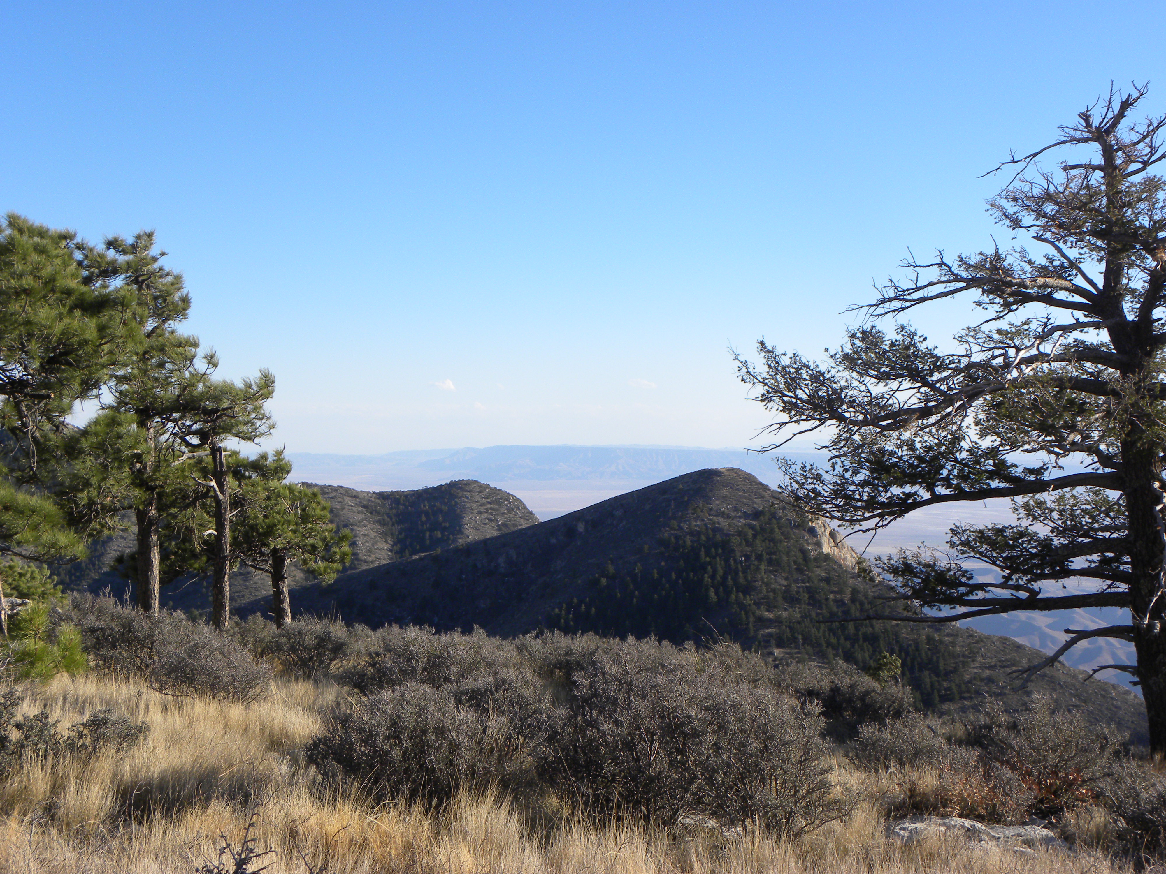
It is less than an hour to walk from Pine Top campground to Hunter Peak. The
trail is steep in some places, but it is not too difficult. About 30 yards
north of the summit is a grassy area with a few trees. This is where we set up
the radio and the antenna. The radio is a Yeasu
ft-857D running 50 watts. The antenna is a homemade Pac-12 variant with 6 15'
radials and 6 6' radials. The ground had several rocks, but the spike on the
antenna base was able to penetrate deep enough to support the antenna without
guying. See the video here.
The video of the view from Hunter Peak is here.
We called our first CQ and immediately got a response. We had a pileup for most
of the 30 minutes that we worked from the summit and made close to 30 QSO’s
between two activators (Jonathan and I, Ben hadn’t received his callsign yet). We hiked back down to Pine Top and packed up
for the trip to Bush Mountain.
|
|
|
|
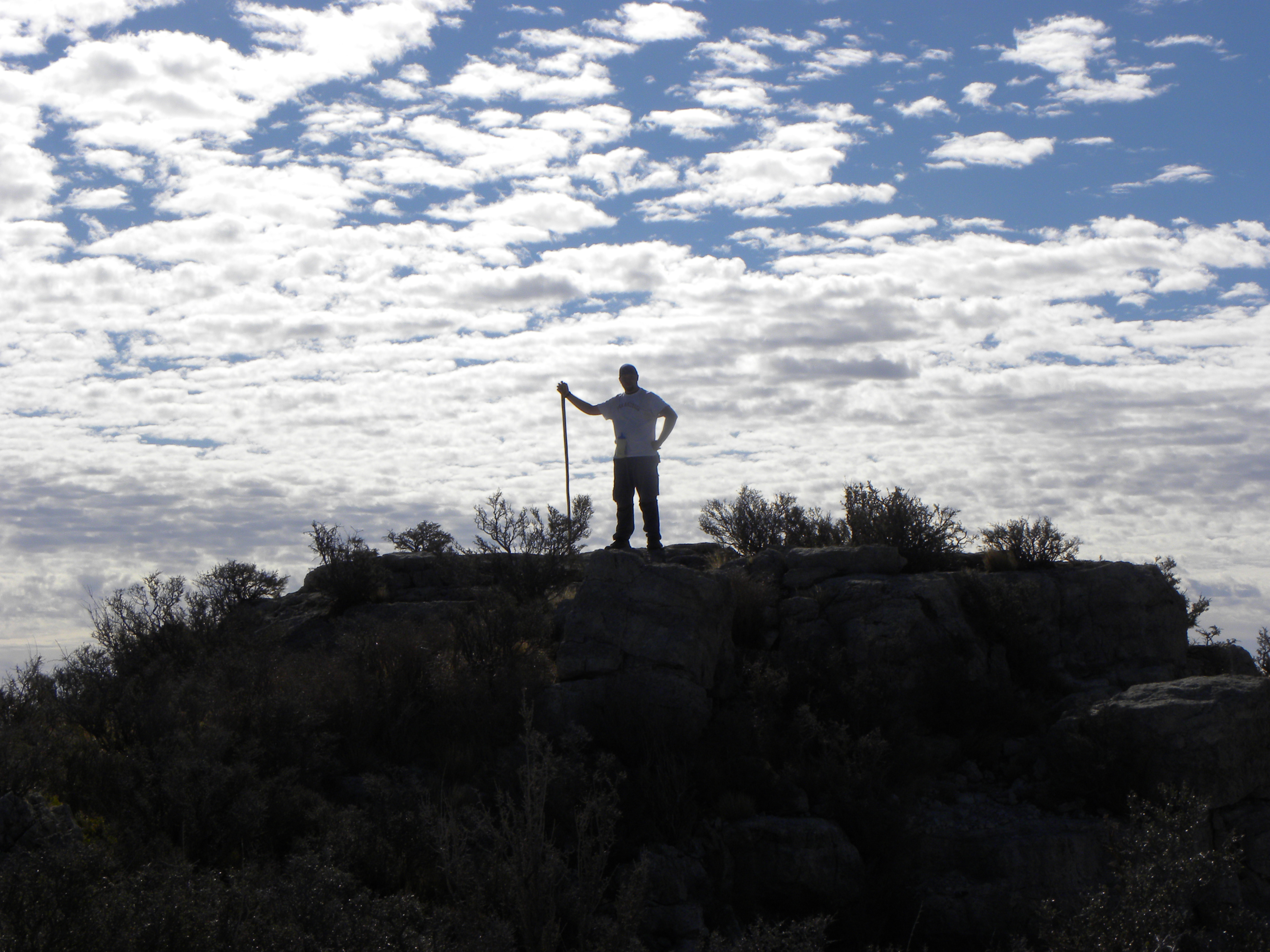
We started hiking from Pine Top campground at around noon and barely
made it to the summit of Bush by 5:00. It would have been an easier hike if we
were in better shape, but there is a lot of up and down on the trail from Pine
Top to Bush. It is also very windy in places.
The summit of Bush Mountain is fairly flat and very grassy with several trees.
I was able to set up right next to the summit marker with my Yaesu ft-857D and my homemade Pac-12 antenna. The ground is
rocky, but the spike in the base of the antenna was able to penetrate deep
enough to hold up the antenna without guy wires. After calling CQ once, there
was a response and a pileup for about the next 45 minutes. I made 32 QSO’s from
the summit, but Jonathan never made it up there. He found the campsite along
the trail to the summit and decided to take a nap.
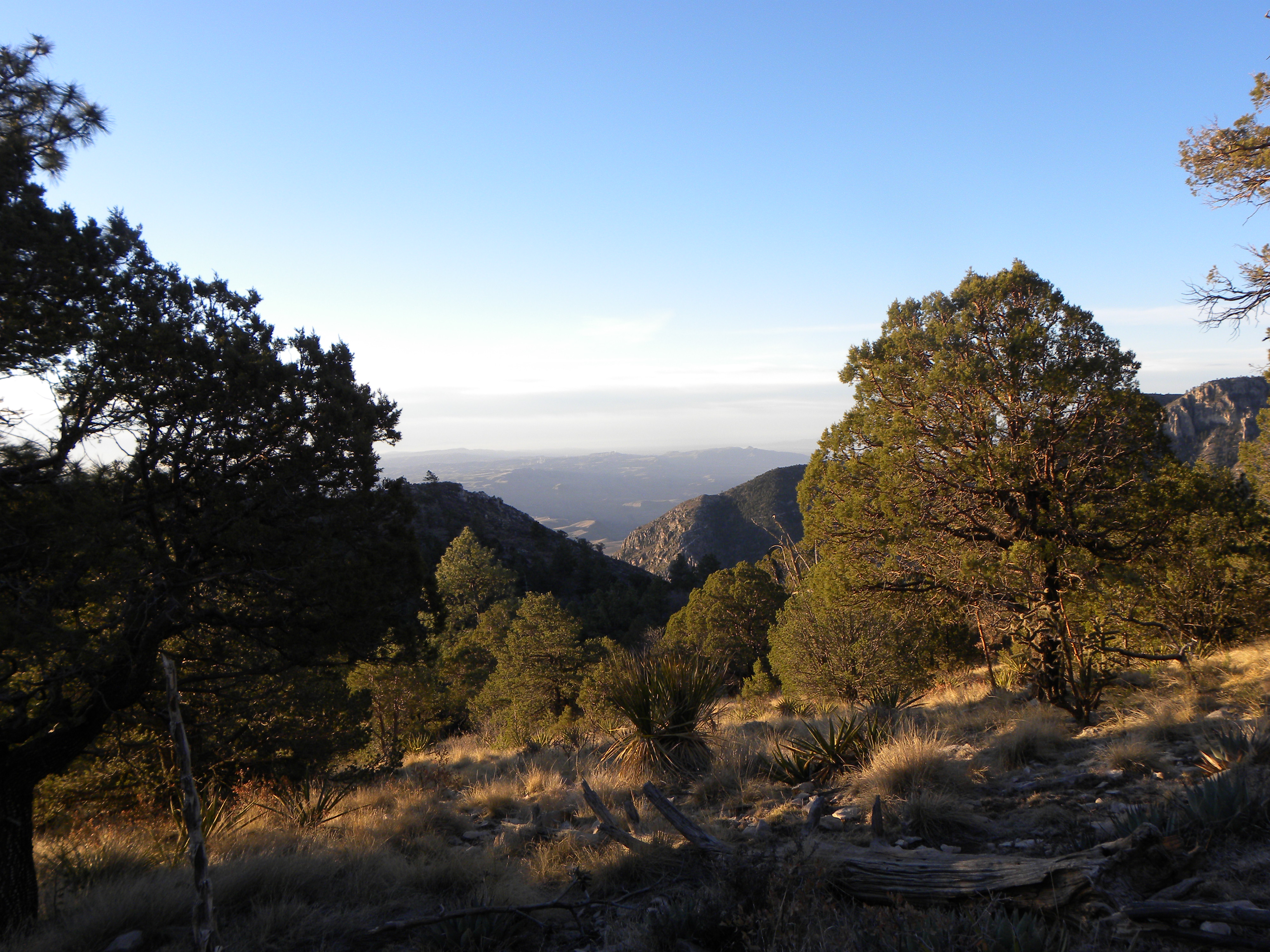
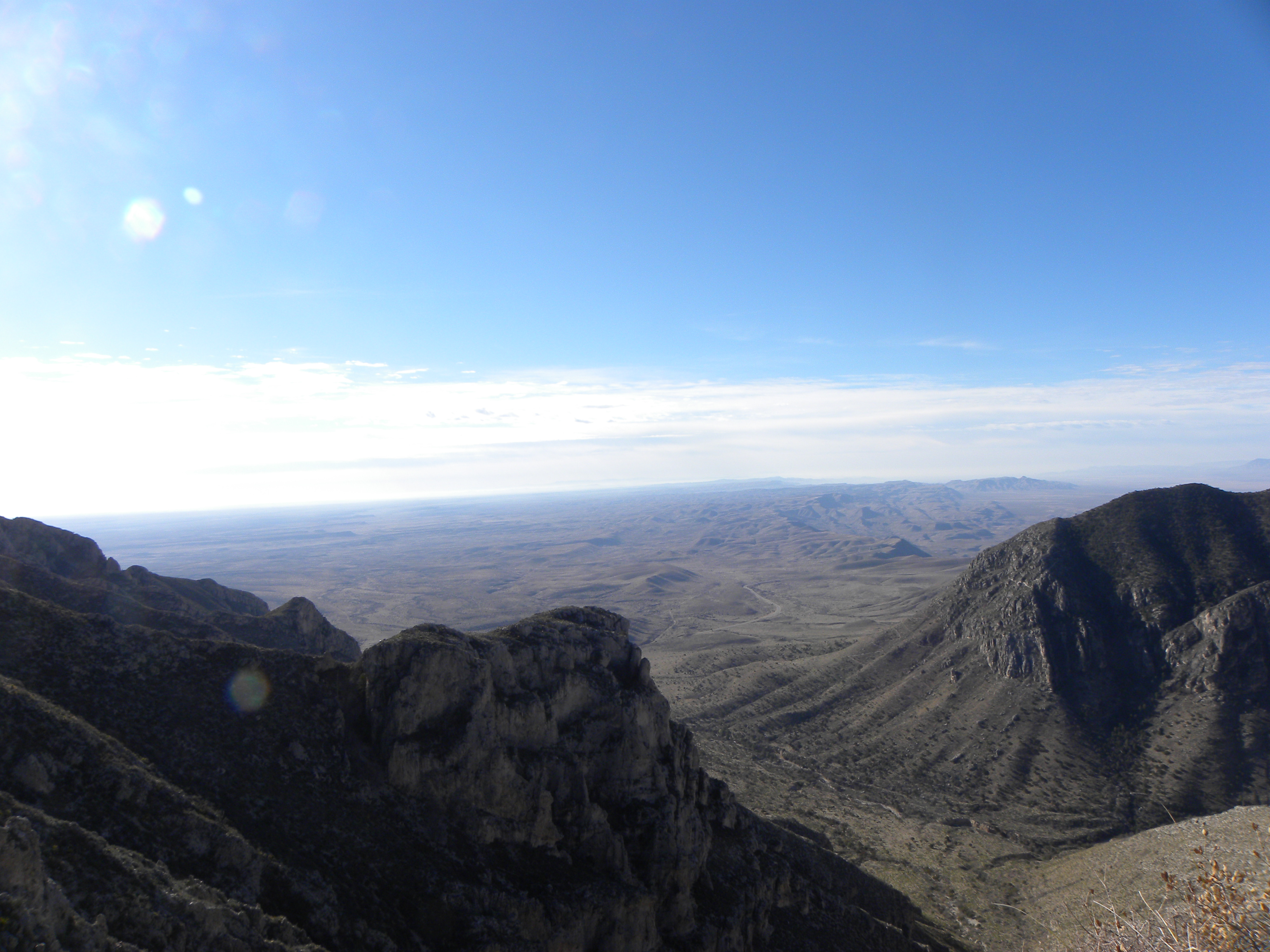
From the summit, you can see Bartlet Peak, which is
not a SOTA summit, Shumard Peak (W5/GU-003),
Guadalupe Peak (W5/GU-001), the highest point in the state of Texas, and Hunter
Peak (W5/GU-004). See the video here.
|
|
|
|


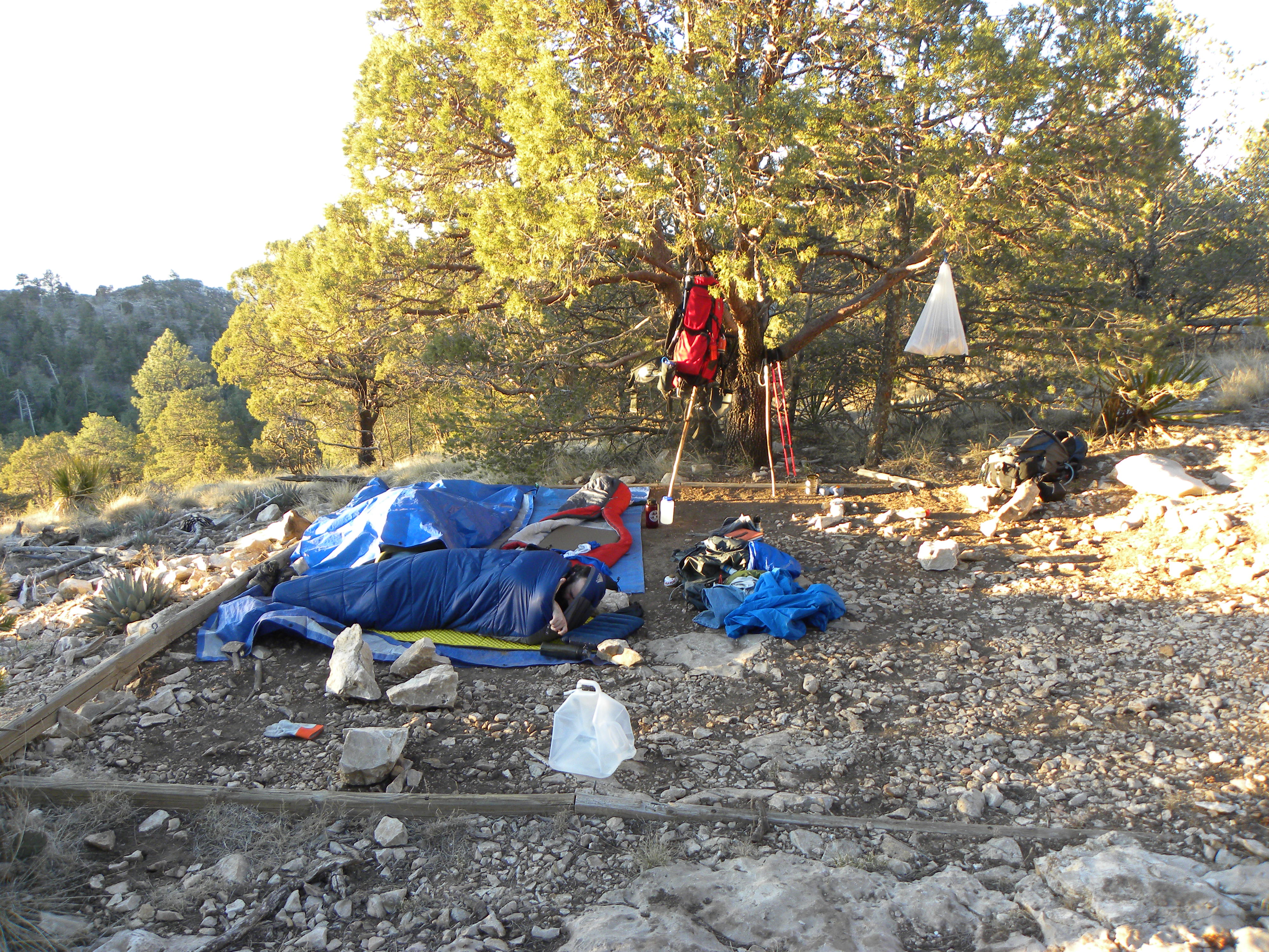
We spent the night in the bush mountain camping area and hiked back down to the parking lot the next day. Hitting 2 summits (Bush and Hunter) was a pretty good trip. Next time, we’ll try the other side of the valley and get Guadalupe (W5/GU-001) and Shumard (W5/GU-003).
© 2012, Stephen Denison
Last Updated: July 29, 2012