
Ouachita National Forest
SOTA Expedition May 23-25, 2013
I activated 10 summits on this trip. Some of them were repeats of my August 2012 trip, while others were new for me. Two of the summits were Virgin Activations and I also had one Summit to Summit contact on this trip.
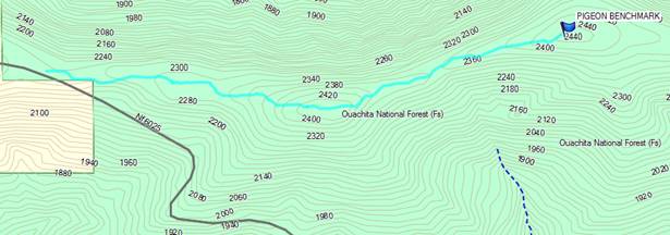
Pigeon Benchmark, W5O/OU-013
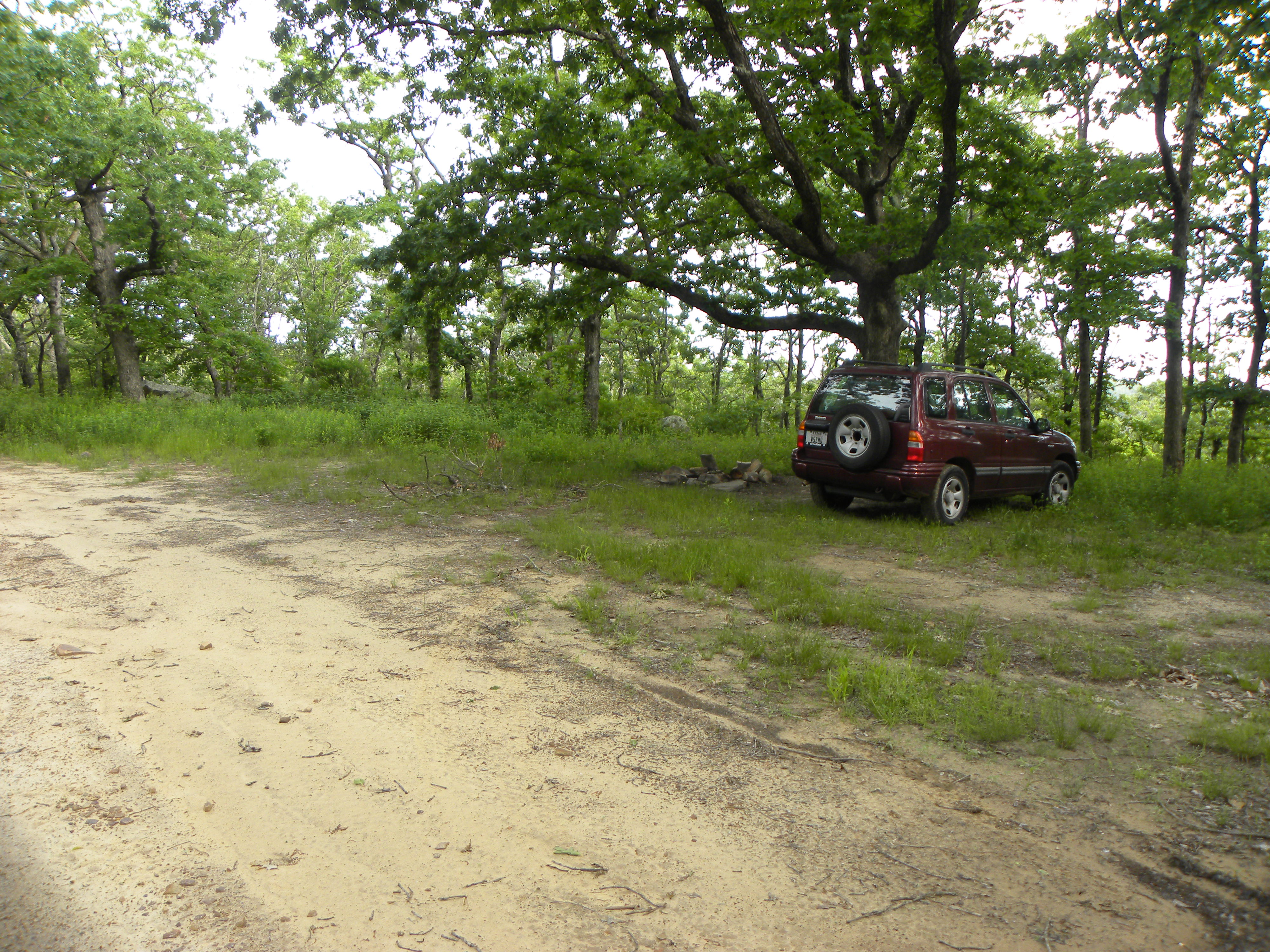
I approached Pigeon Benchmark from Forest Road 6025. There is a good parking area under a tree right across the road from the ATV trail. It’s about a 1.6 mile hike along the trail. There is a lot of grass growing on the trail; watch out for ticks! I used my PAC-12 Antenna on 20 meters.
|
Parking on NF6025 |
GPS Track of Route |
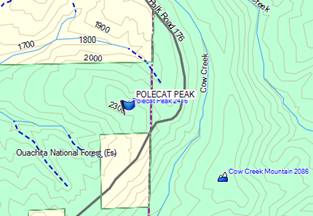
Polecat Peak, W5O/OU-003
This summit is right off of Forest Road 6025. I saw a bear running along the road while driving. Recent storms had blown a couple trees across the road, so I used my Pocket Chainsaw to cut the limbs off so that I could pass. I knew that if I stayed too long I would have to drive back along the Forest Road in the dark, so I scrambled about 100 yards up the hill, threw up my 40m dipole and made a few contacts.
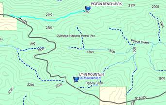
Lynn Mountain, W5O/OU-001
Lynn Mountain is close to the trailhead for Pigeon Benchmark right off of NF6025. When I arrived, it was getting dark, so I hiked up the hill and again threw my dipole into the trees and made a few contacts on 40m. Then I ate dinner (mmmm MRE’s) and set up my tent.
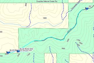
Blue Bouncer Mountain, W5O/OU-013
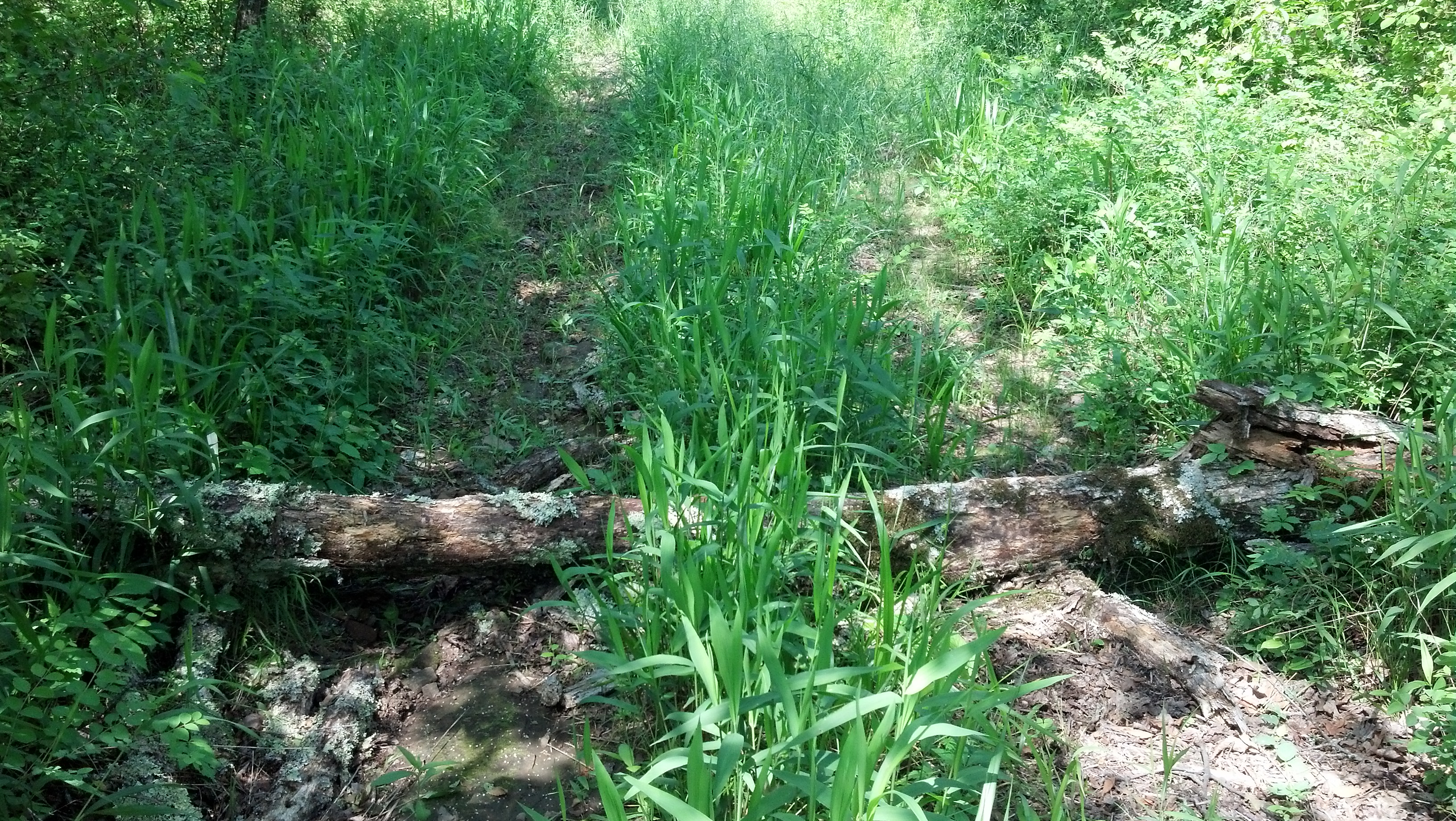
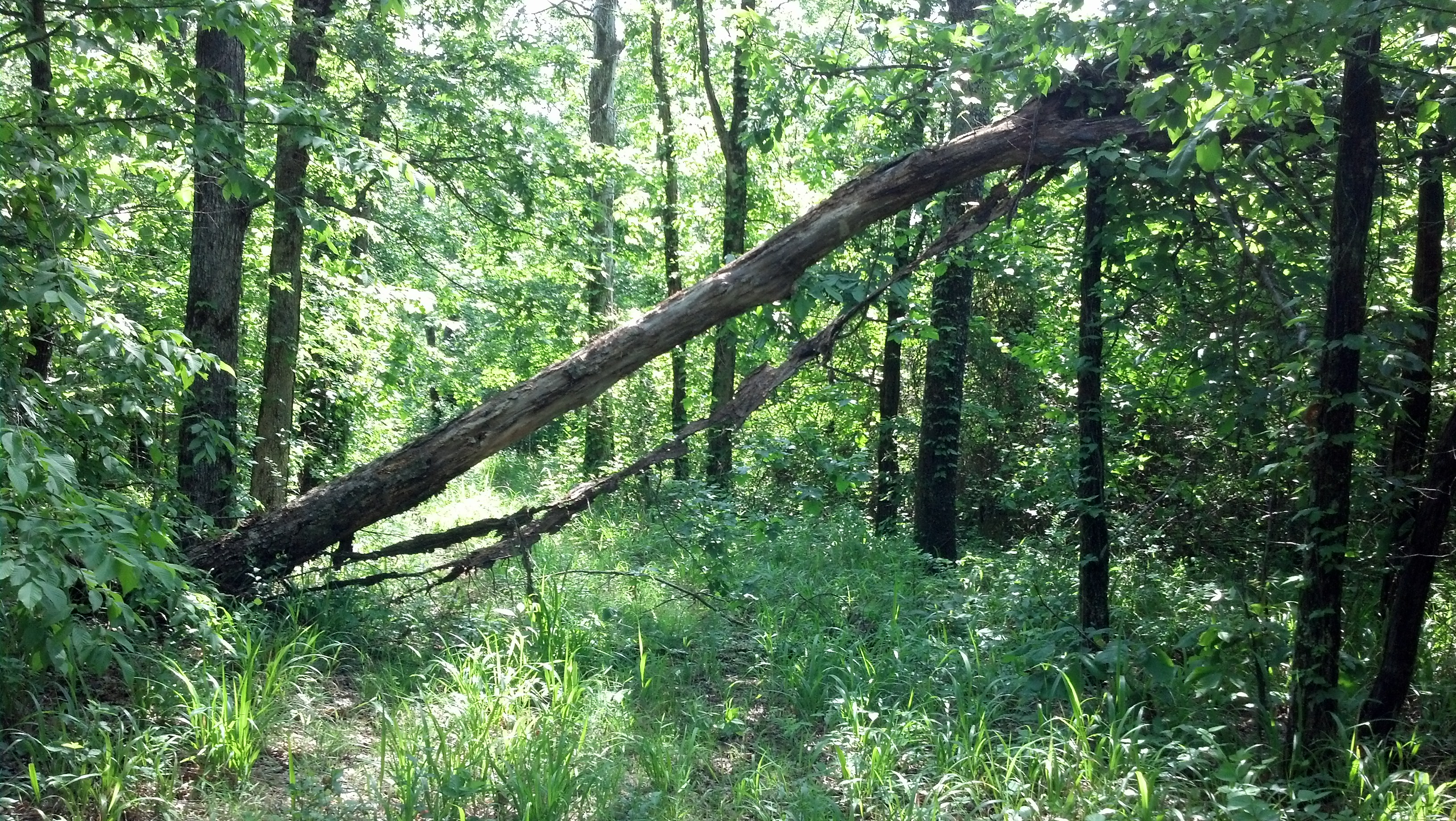
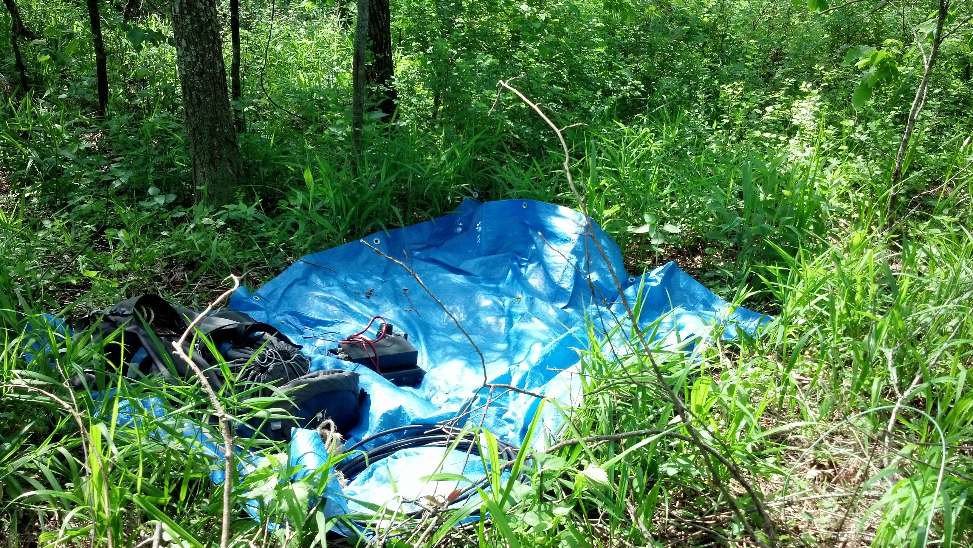
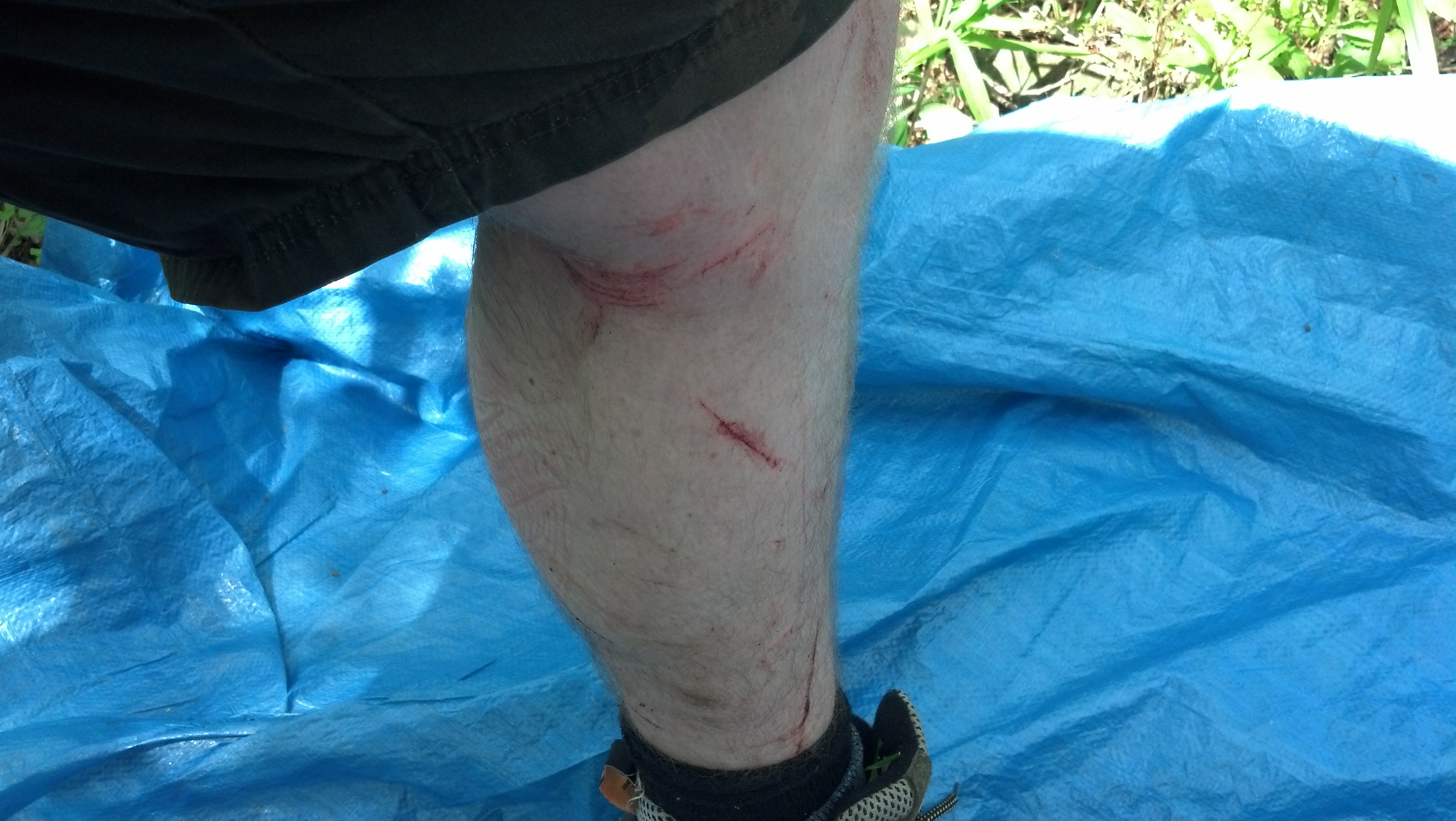
Blue Bouncer Mountain is at the end of NF6025A. This road is not as well maintained as NF6025 and I was only able to drive about ½ mile before trees across the road stopped my progress. I pulled out my pack and hiked 2 miles to the summit. Most of the hike was along the road, which actually goes farther than what is shown on the map. The last ¼ mile is off trail bushwacking through heavy brush and thorn bushes. If I had thought to bring the bottom parts of my zip off pants, my legs wouldn’t have gotten so cut up. This was the first ever activation on this summit.
|
Map of Hike |
Log Across the Road |
More Logs Across the Road |
|
Setup on Top of the Mountain |
|
Cut up Legs |
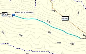
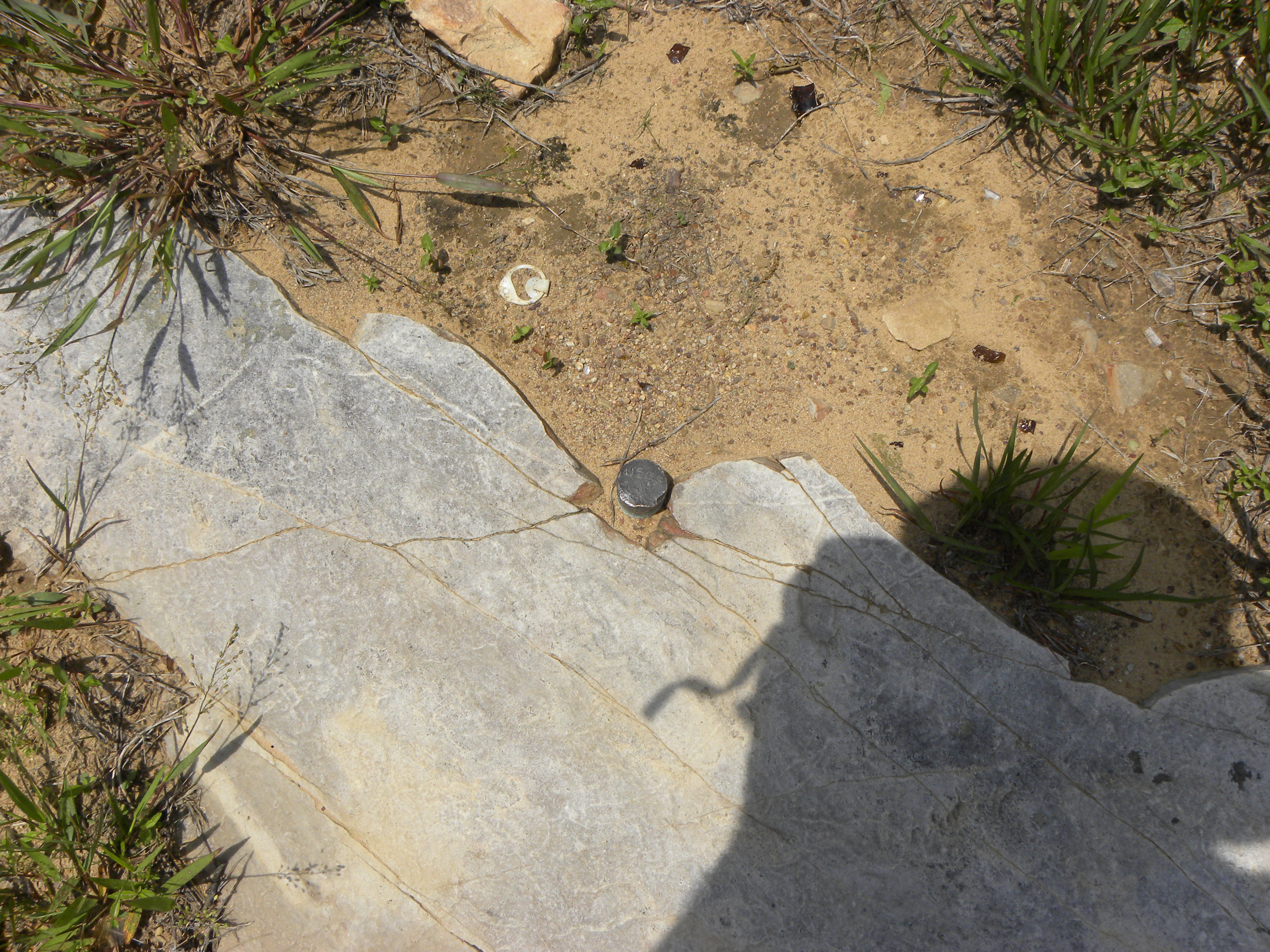
Kiamichi Mountain, W5O/OU-001
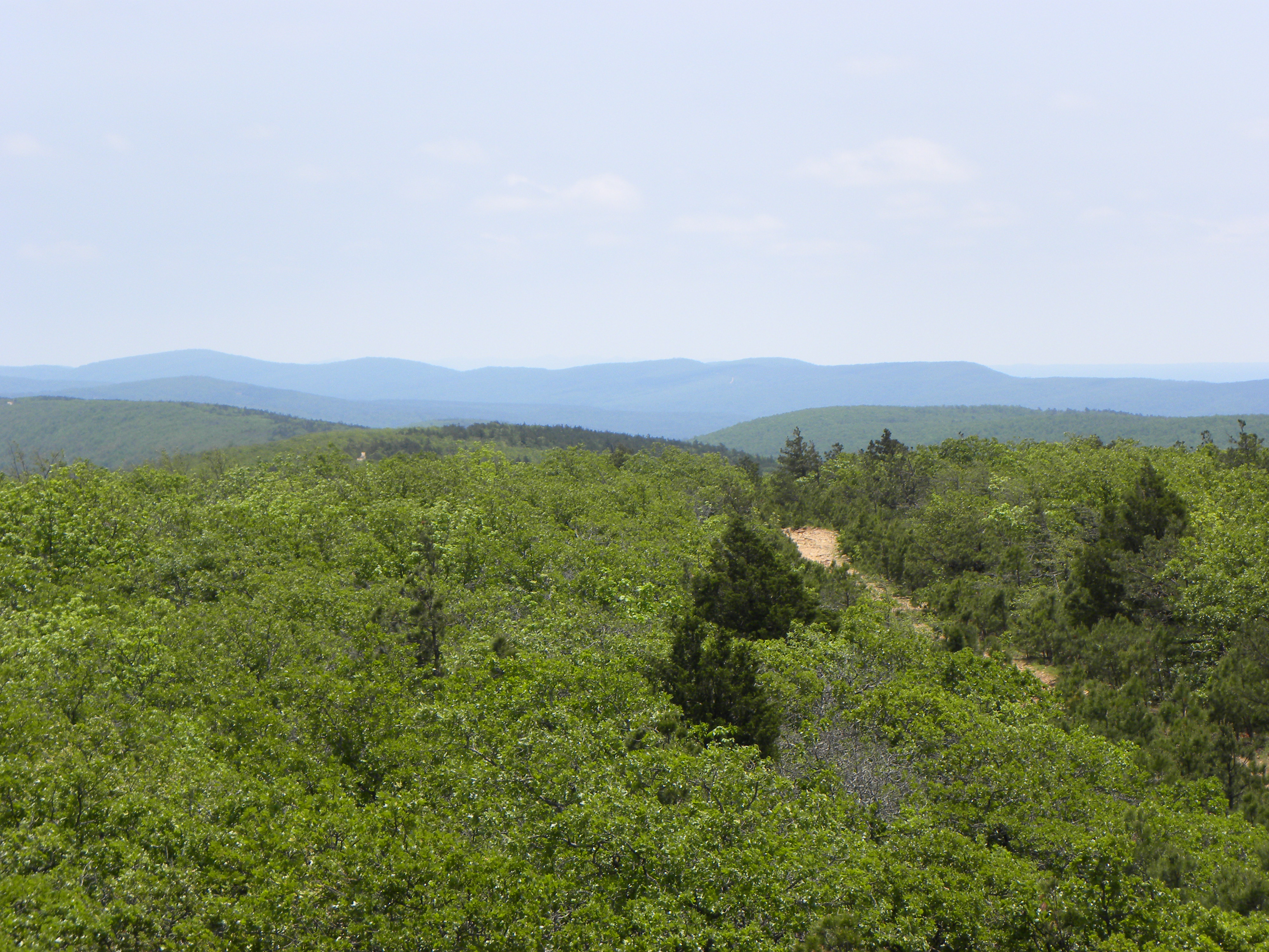
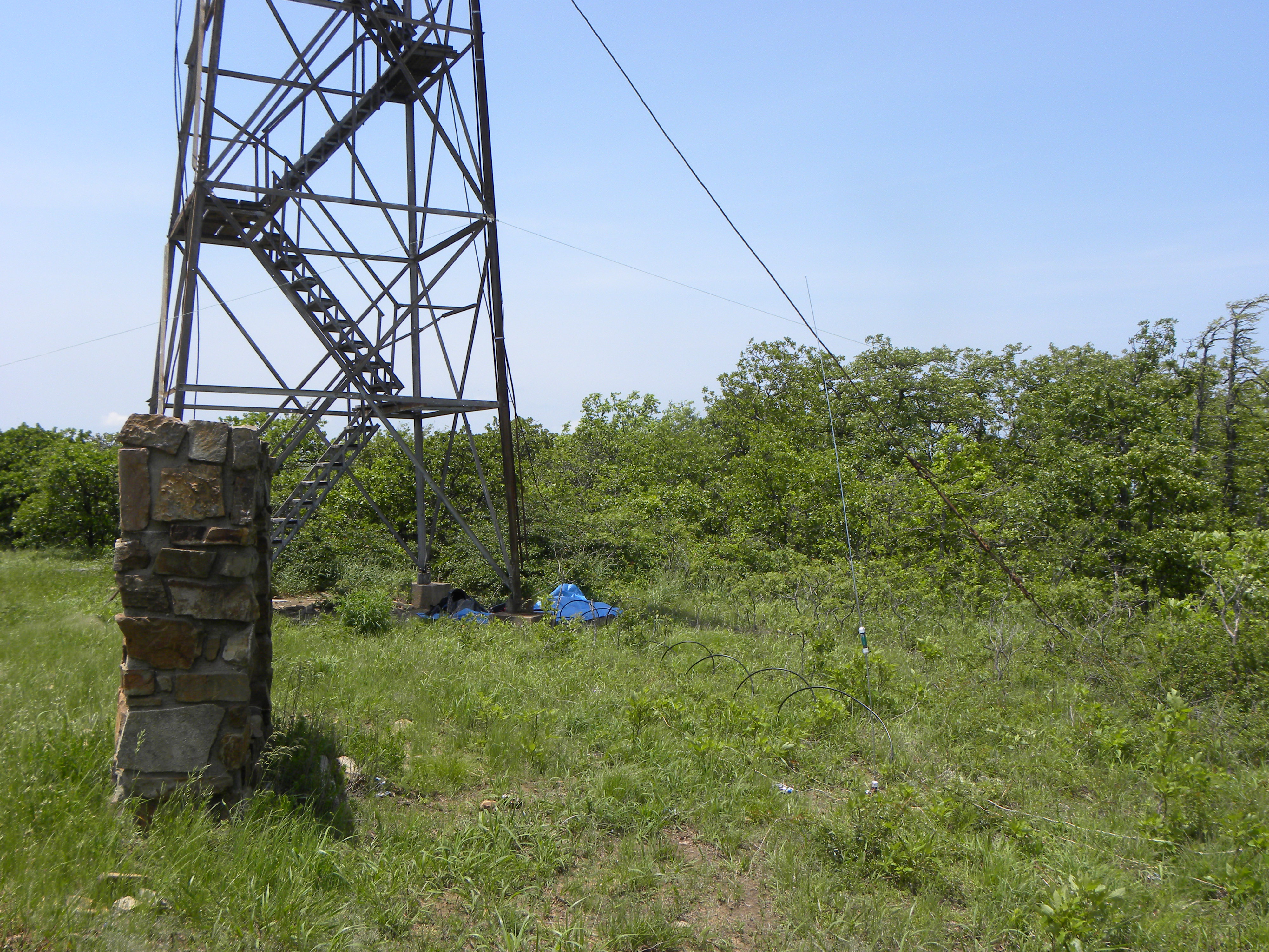
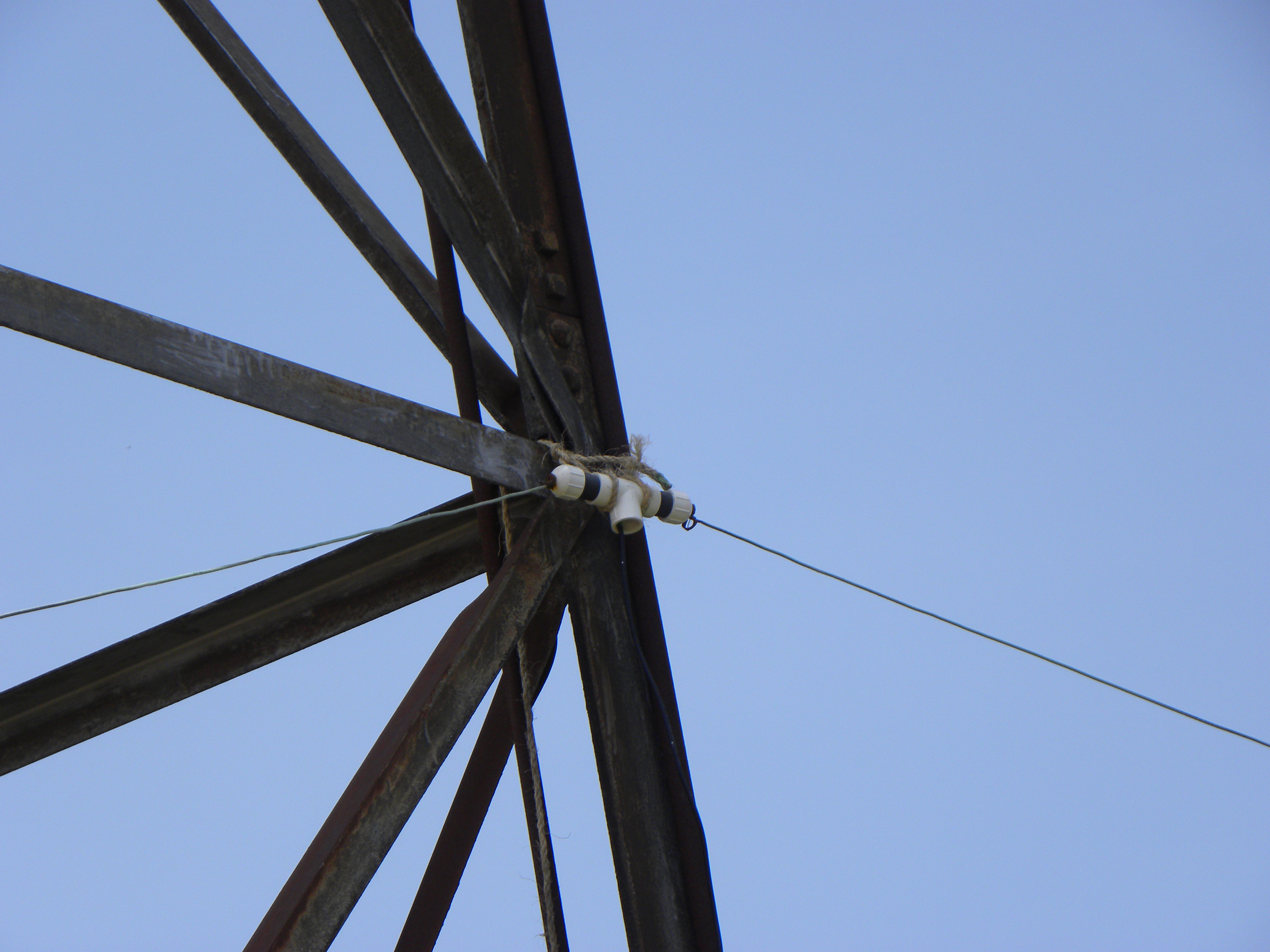
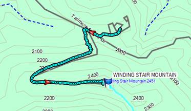
I drove west along NF6025 until I got to the bottom of the steep hill in the road. I parked my car and proceeded to hike about 1.2 miles along the road to reach the top. I attached my dipole to the fire tower, and set up my PAC-12 vertical. I started out on 20m on the PAC-12, then 40m on the dipole. Someone suggested that I try 20m on the dipole on the next summit.
|
Map of Hike |
View From the Fire Tower |
Summit Marker |
|
Setup under the Fire Tower |
|
Dipole Hanging from Fire Tower |
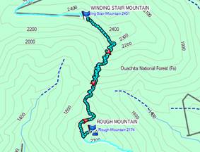
Winding Stair Mountain, W5O/OU-002
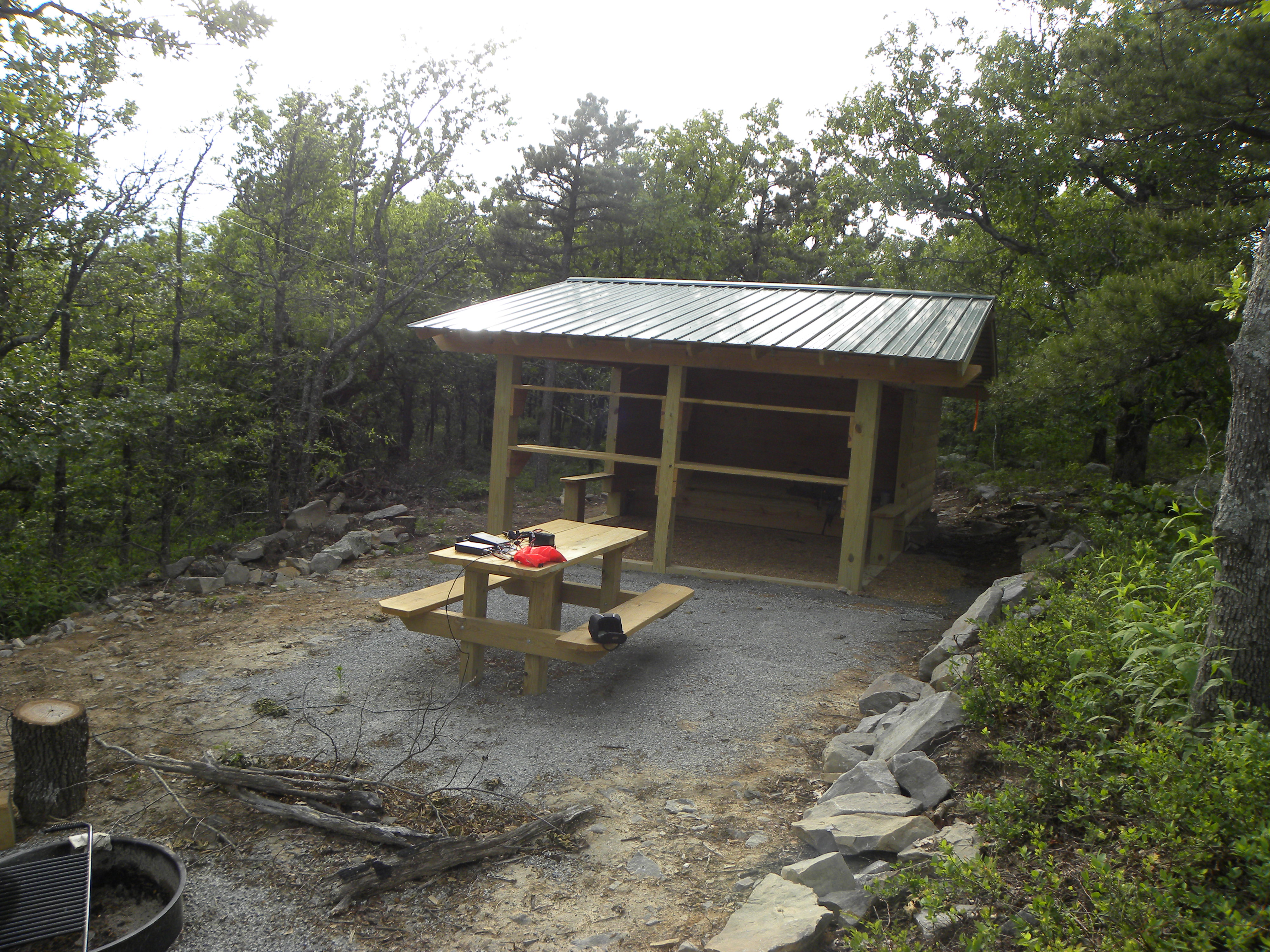
I parked at the Winding Stair Campground, ate dinner (another MRE), and paid the $2 backpacking fee (technically it is for camping at the site, but since I’m using their parking lot, restroom, and water, I felt it necessary to contribute). I hiked the 1.5 miles to the top and found that they had built a shelter at the summit. I set up my dipole and worked 40m and 20m. I was told that my signal was stronger on 20 using the dipole than the PAC-12. I slept in the shelter that night. It is very nice and I highly recommend it.
|
|
Shelter at the Summit |
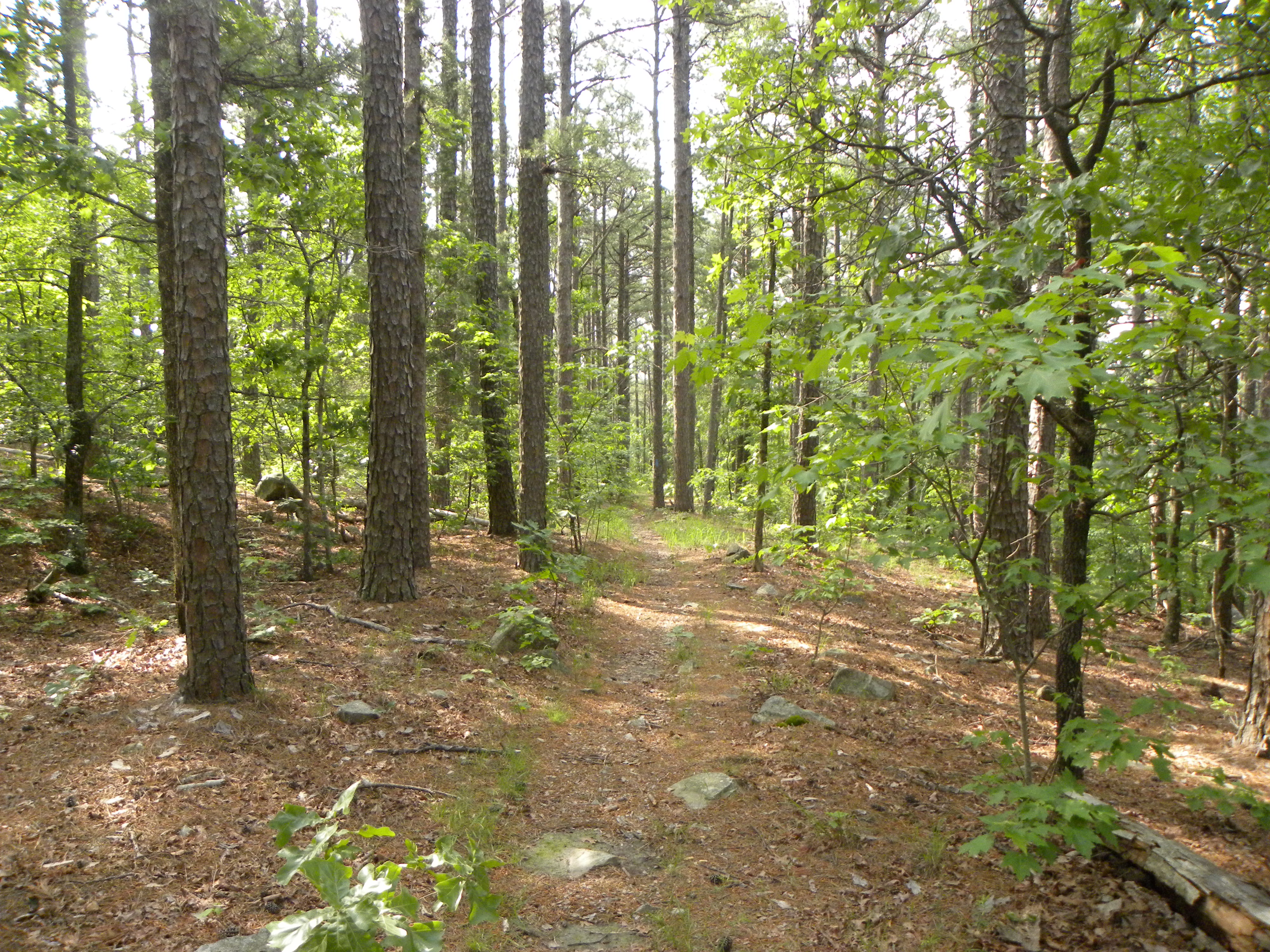
Rough Mountain, W5O/OU-014
I left most of my camping gear in a corner of the shelter on top of winding stair mountain and carried my radio, water, and essentials down the trail and up Rough Mountain. It is a fairly easy 1.7 mile hike along the Ouachita trail, which is marked with blue blazes. The trail runs within 100 yards of the summit, which is not very overgrown and is fairly easy to bushwack to the top. I worked 20 and 40m using my dipole.
|
|
View along the Ouachita Trail |
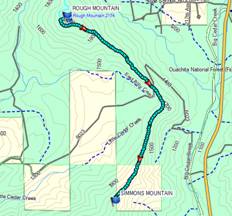
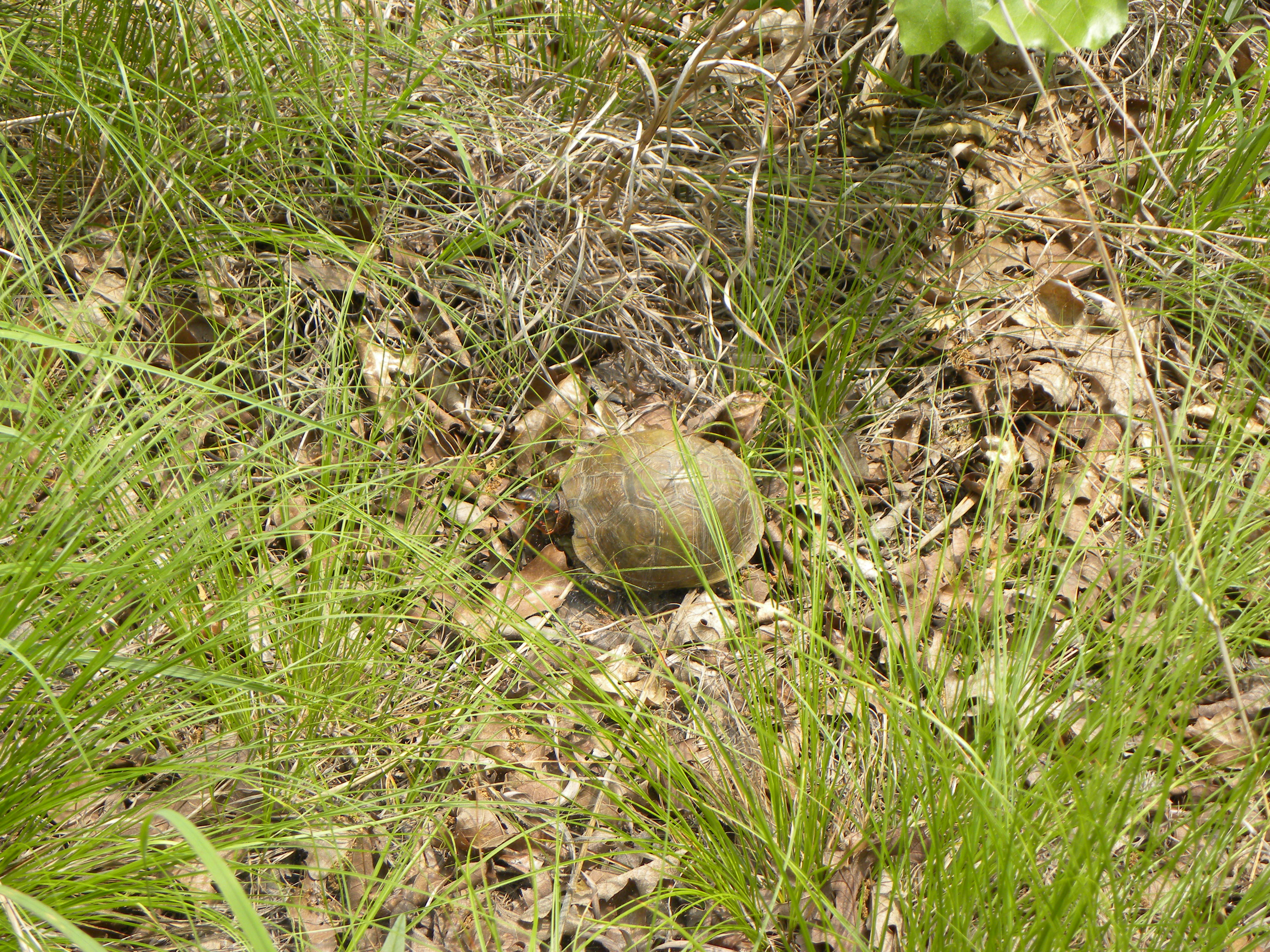
Simmons Mountain, W5O/OU-007
I had to abandon this mountain the last time around because of the bad road that comes in from the east around the north side of the mountain. I hiked the Ouachita trail for 3 miles from Rough Mountain to where the trail crosses NF 6023. From there, I followed the ridge line all the way up to the summit. There are some patches that are overgrown, but the entire hike up the ridge is not very difficult. Stay to the west side of the ridge to avoid most of the dense undergrowth. There are lots of trees at the top to hang the dipole from.
|
|
Turtle on top of the Mountain |
2290, W5O/OU-006
I hiked back the way I came over Rough Mountain and Winding Stair Mountain to the Winding Stair Campground where my car was parked. It took about an hour longer than expected and my feet had a few blisters from my hiking boots rubbing. I rearranged my pack for lightweight hiking with only the radio and essential equipment and drove to the bottom of 2290. This summit is right next to the highway and requires a steep climb up about 50 yards to the summit. There are some short trees on top, and I wasn’t sure I would be able to get my dipole high enough. After a few tries, I managed to get it right at the top of the trees. I spent about 20 minutes on the summit getting contacts then packed up and hiked back down the hill to the car.
Sycamore Lookout, W5O/OU-005
I drove along Oklahoma 1 until I reached Panoramic Lookout at the bottom of the activation zone for Sycamore Lookout. I hiked across the highway and up the hill a little bit until I found a good area to hang my dipole. I worked both 20 and 40 meters for about a half hour, then packed up the final time and hiked back down to my car.
Overall, I worked 10 summits, completed about 95 QSO’s, camped out 2 nights, hiked 15+ miles, saw 2 bears, 2 deer, a turtle, and had a great time!
© 2013, Stephen Denison
Last Updated: May 31, 2013