
Wichita Mountains Wildlife Refuge
SOTA Expedition November 30, 2013
After eating all of that Thanksgiving turkey, slow cooked pork, green bean casserole, stuffing, rolls, and pie, I decided to hike again in the Wichita Mountains. I left my in-laws house at 4:00 am and drove to the mountains 4 hours away.
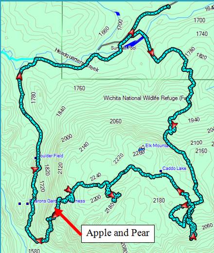
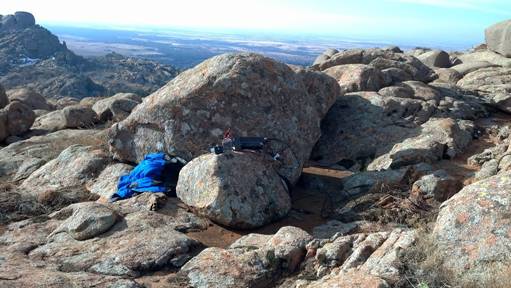
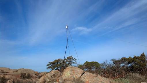
I arrived at the Sunset Picnic Area just after 8 am. There was only one other car in the parking lot, and it was turning out to be great weather for hiking. I crossed the bridge toward Elk Mountain, and started climbing toward the summit along the trail. Elk Mountain has a fairly flat summit with several large boulders on top, and once I reached the top, I continued following a trail toward what I thought looked like the highest point. If I would have checked my GPS and compass then, I would have known that I needed to make a right turn to get to the actual summit. I found a good place to set up my antenna within distance of a boulder to use as a wind break for my operating position.
|
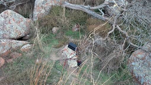
Operating Position on Elk Mountain |
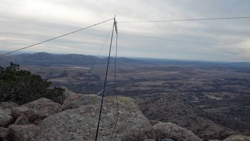
Antenna Setup on Elk Mountain |
|
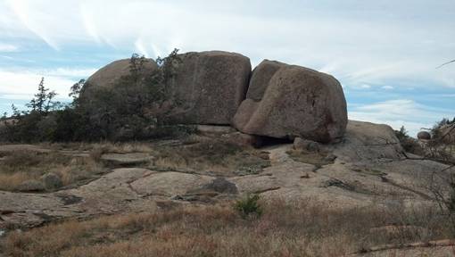
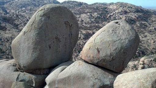
Boulders on top of Elk
Mountain, each one is the size of a small house! |
|
I packed everything up and started hiking down what I thought was the west slope of the mountain, but it turned out to be the south slope (check GPS and compass often). Once I figured out that I was on the wrong side of the mountain, I climb back up toward my operating position and then followed another trail northwest toward the actual summit. From there I turned west and started making my way down to Post Oak Creek. I heard a group of people down in one of the canyons and decided to go down and see if the way that they came up was a good route down. I was told that most of the canyons would not be good to get down because of being choked with boulders, juniper trees, and brush, but that the northwest side of the mountain was a huge granite slab that would not be difficult to climb.
I climbed back up to the top and started down the slab. For the most part it was an easy walk until I reached the area around Apple and Pear. At this point it was a lot of friction climbing and hopping from boulder to boulder, not a good route for someone who is out of shape. I made it down to Post Oak Creek and decided to abort the activation of Twin Rocks Mountain due to the amount of time it took for me to make my way down the side of Elk Mountain.
|
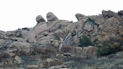
Apple and Pear from the back |
Apple and Pear from the Post Oak Trail |
I followed the Post Oak Creek Trail back to the Sunset Picnic Area, where the entire parking lot was full and people were starting to park along the side of the road. I drove to the top of Mount Scott and found a good area from which to operate on the west side of the parking lot. I drove back down to a lower parking area and hiked my equipment to the top.
|
Operating Position on Mt. Scott |
Antenna on Mt. Scott |
© 2013, Stephen Denison
Last Updated: December 7, 2013