
Ouachita
National Forest
SOTA Expedition August 3-4, 2012
We planned to activate 6 summits over the weekend, but were only able to get 5. This was the first time that I used my Android SOTA Logger on an actual activation.
Sycamore Lookout, W5O/OU-005
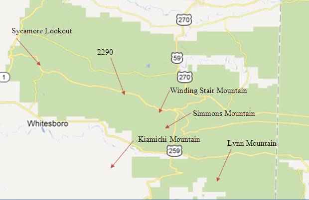
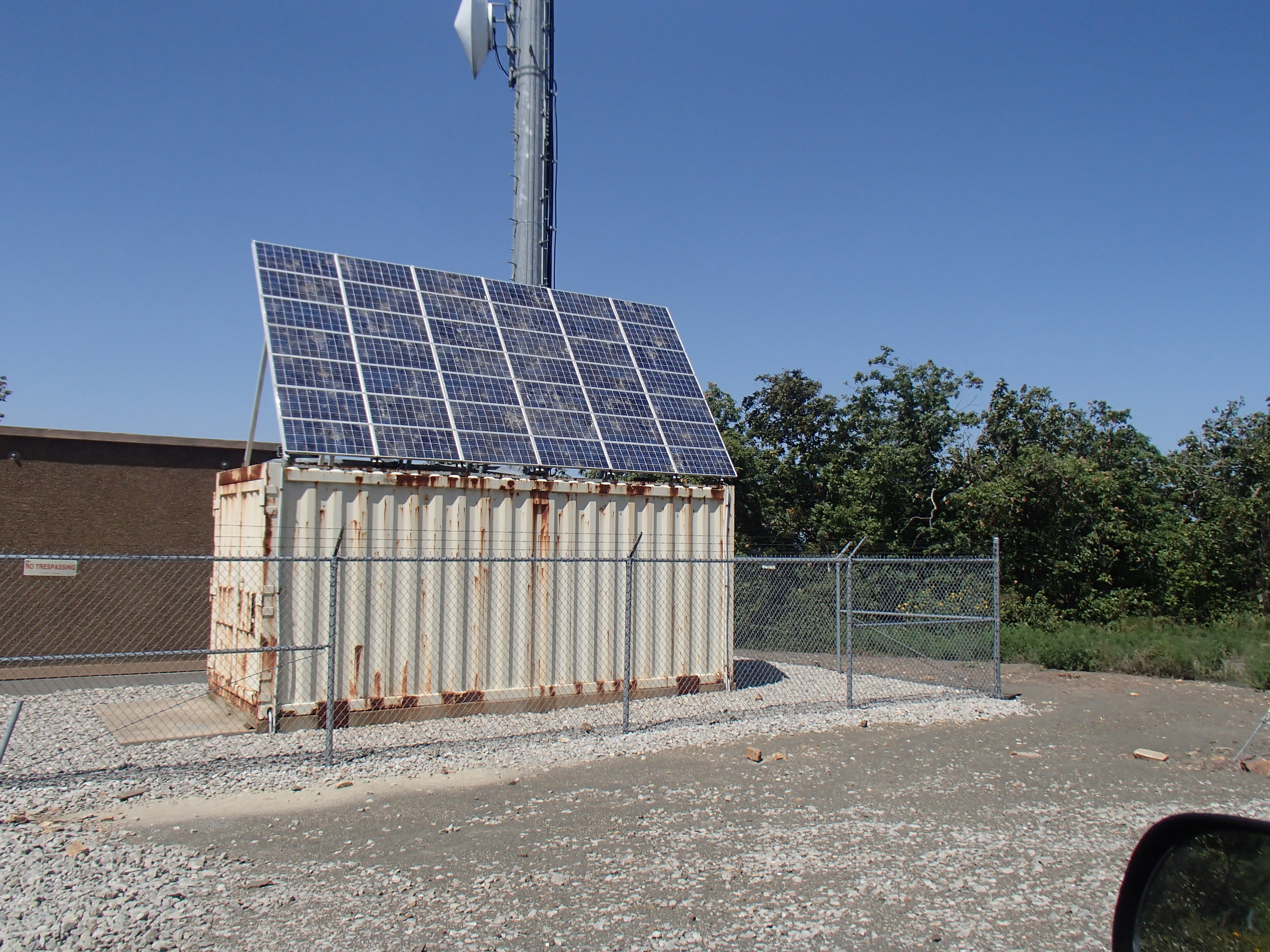
We approached Sycamore Lookout from the west. On top of the summit there are some commercial towers with cell phone and other services. We studied the map and found that Panoramic Lookout, just down the road, was still in the activation zone (red outline on map). This is where we parked and activated from (yellow dot on map).
|
Summit Map with Activation Zone |
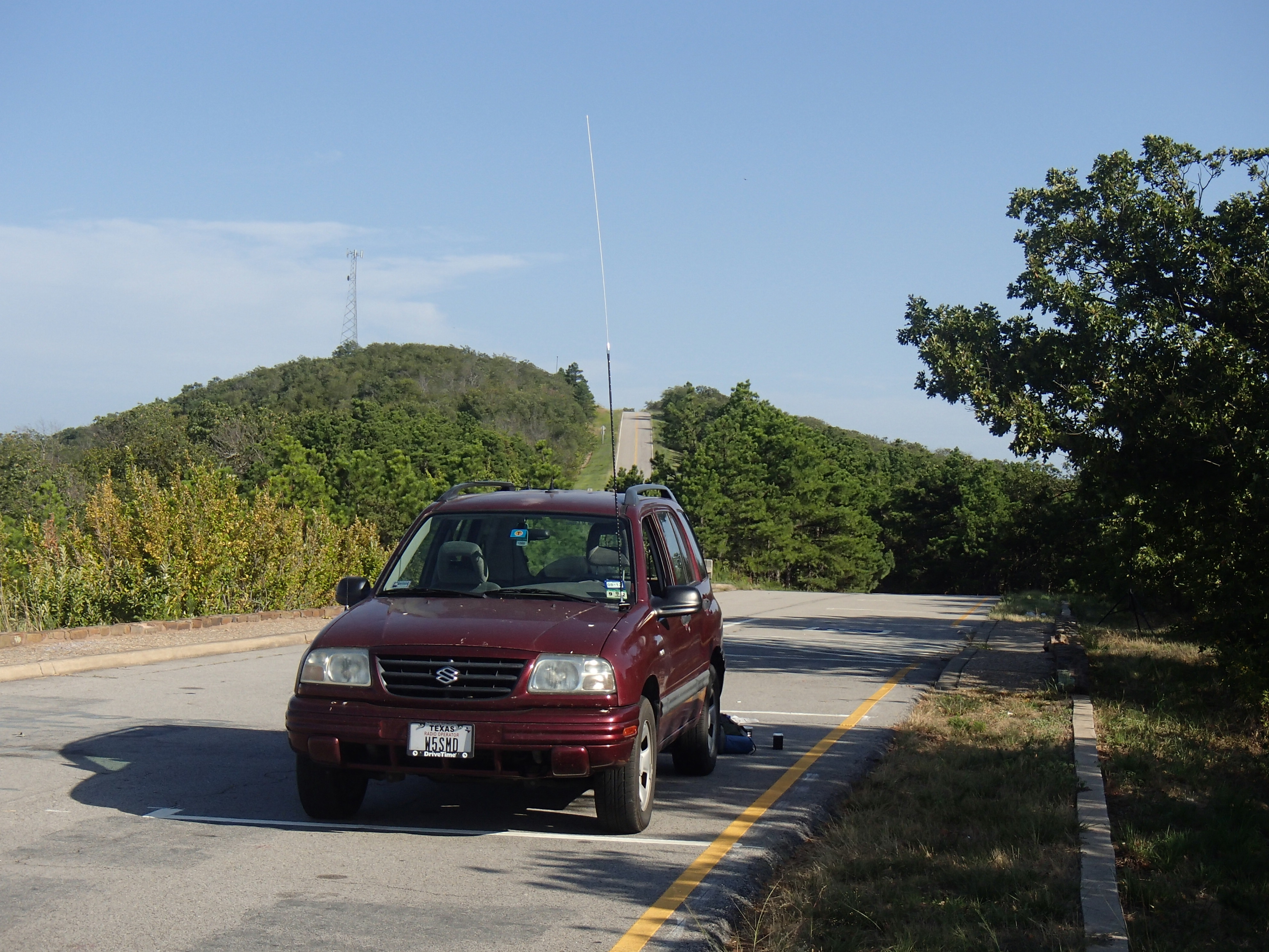
Sycamore Lookout behind my vehicle |
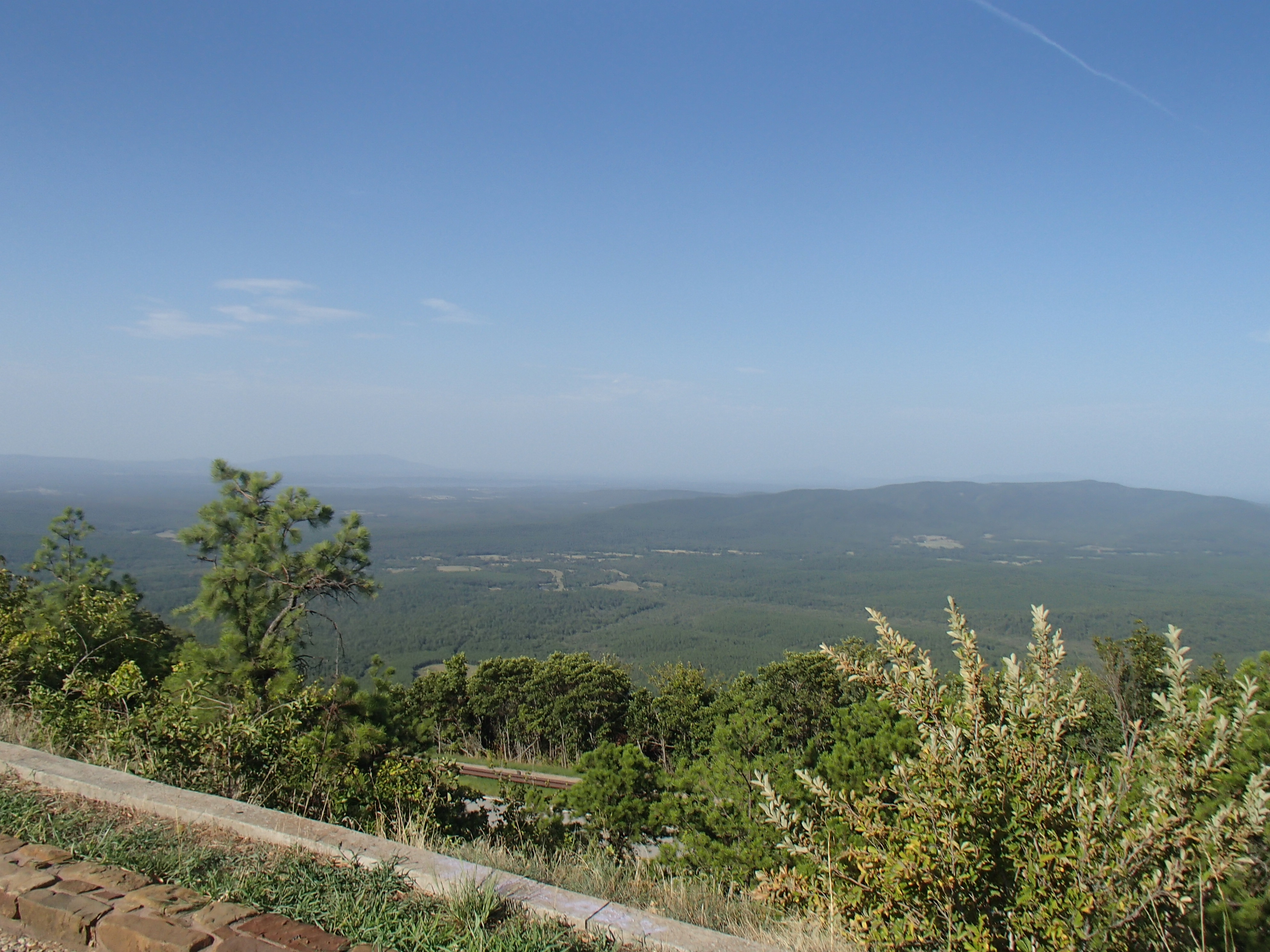
View from Panoramic Lookout |
|
|
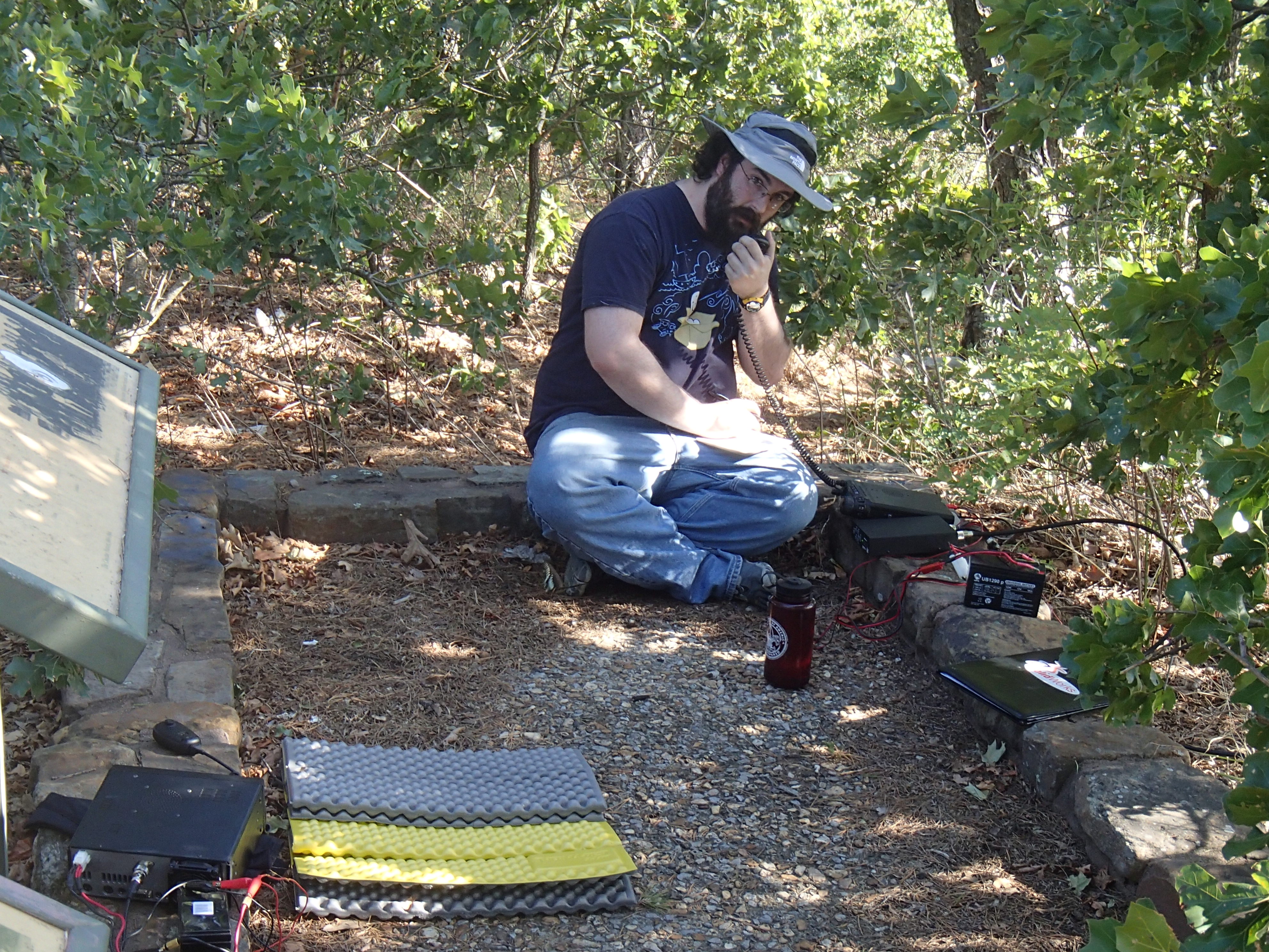
Jonathan, KT5EE, activating the summit |
|

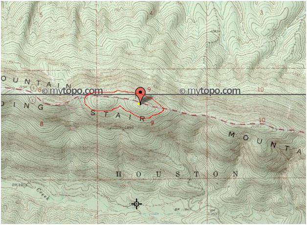
2292, W5O/OU-006
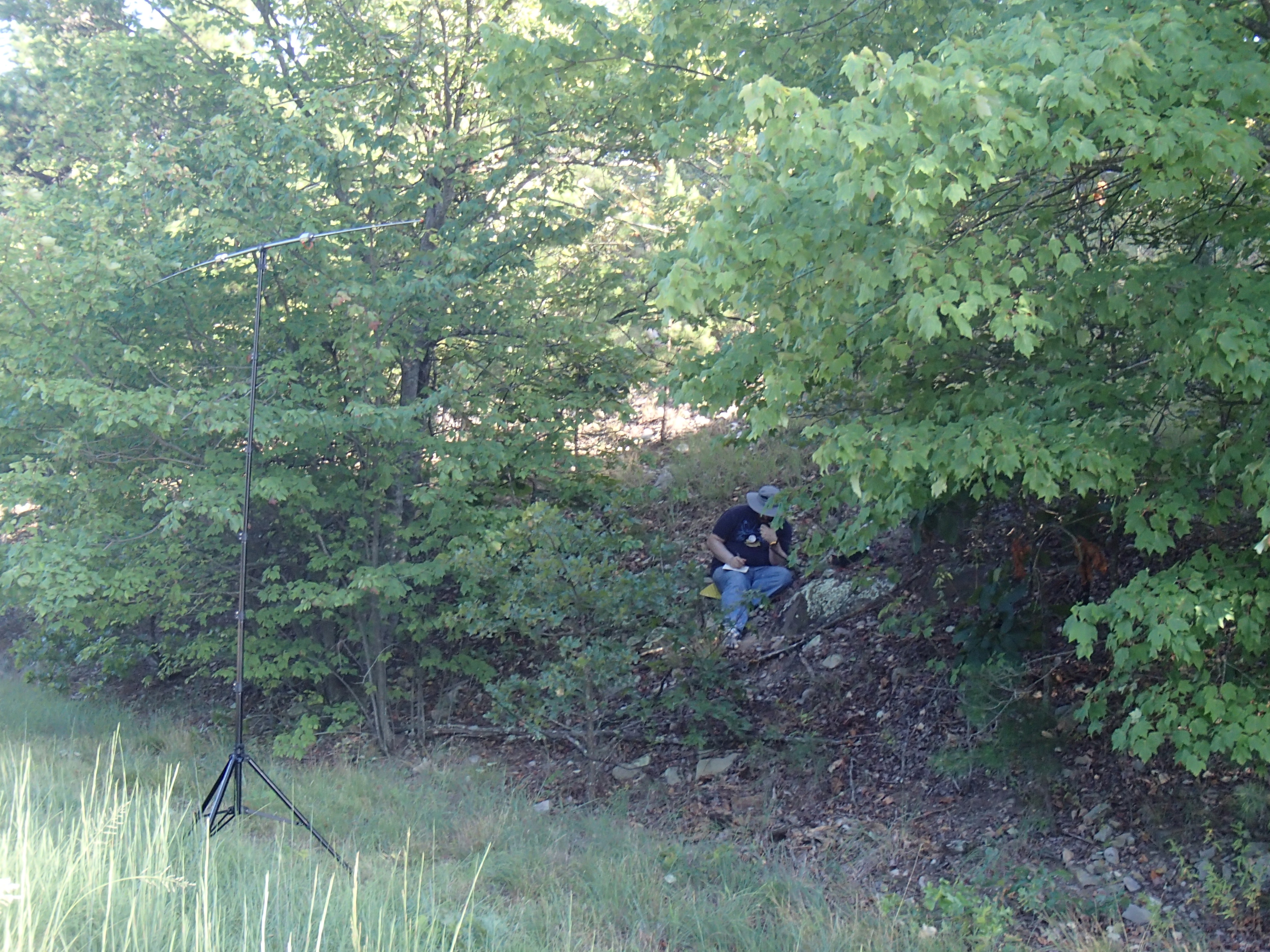
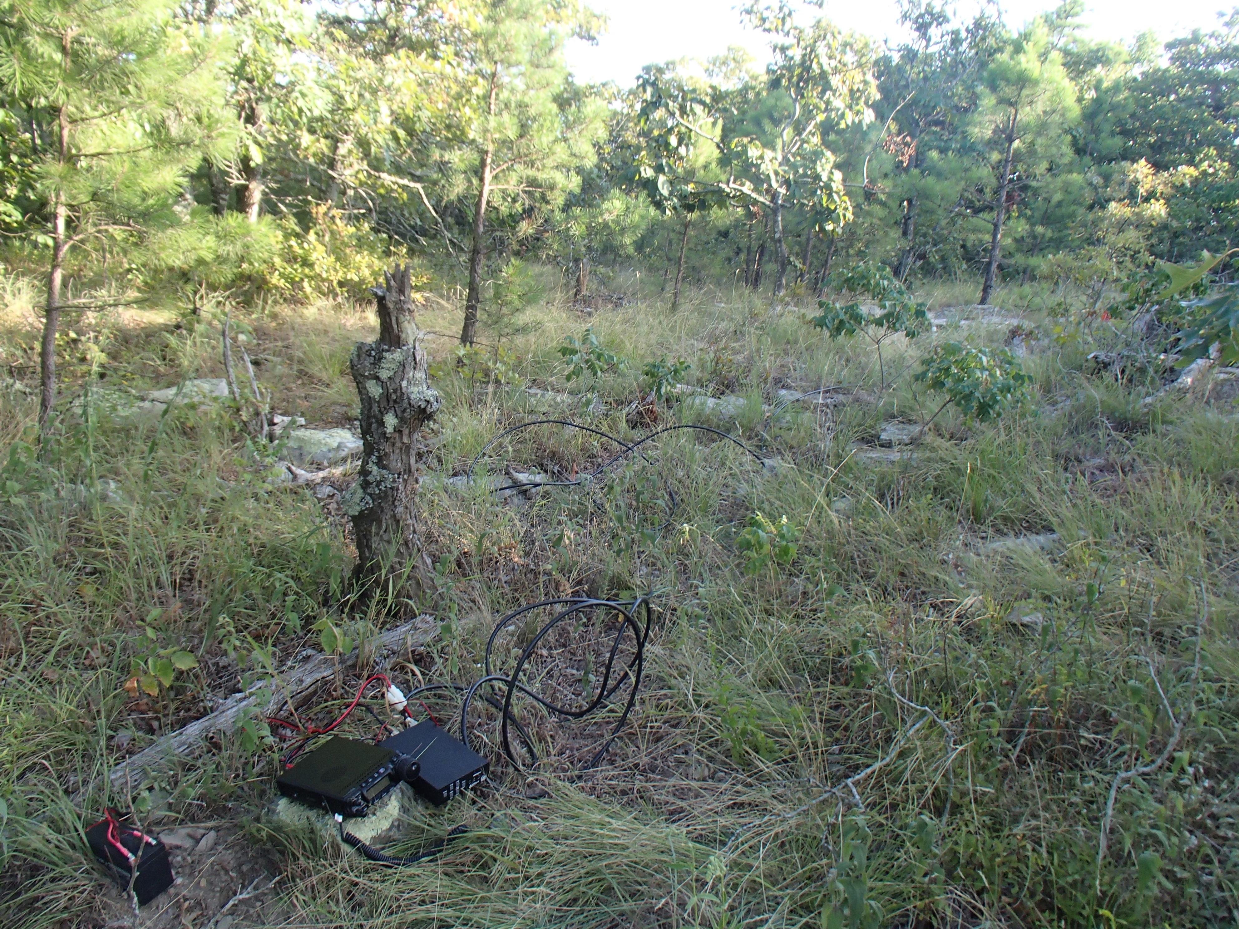
This summit is east of Sycamore Lookout along the scenic byway. It is near Co Road 221, but would be difficult to find without a gps. We parked the car on the side of the road and scouted toward the summit. Jonathan decided that it was too steep to carry the gear up the hill, so he set up just inside the trees next to the road. Being the masochist that I am, I carried my gear up the hill about 50 yards and set up.
|
Summit Map with Activation Zone |
Jonathan with
his Buddipole |
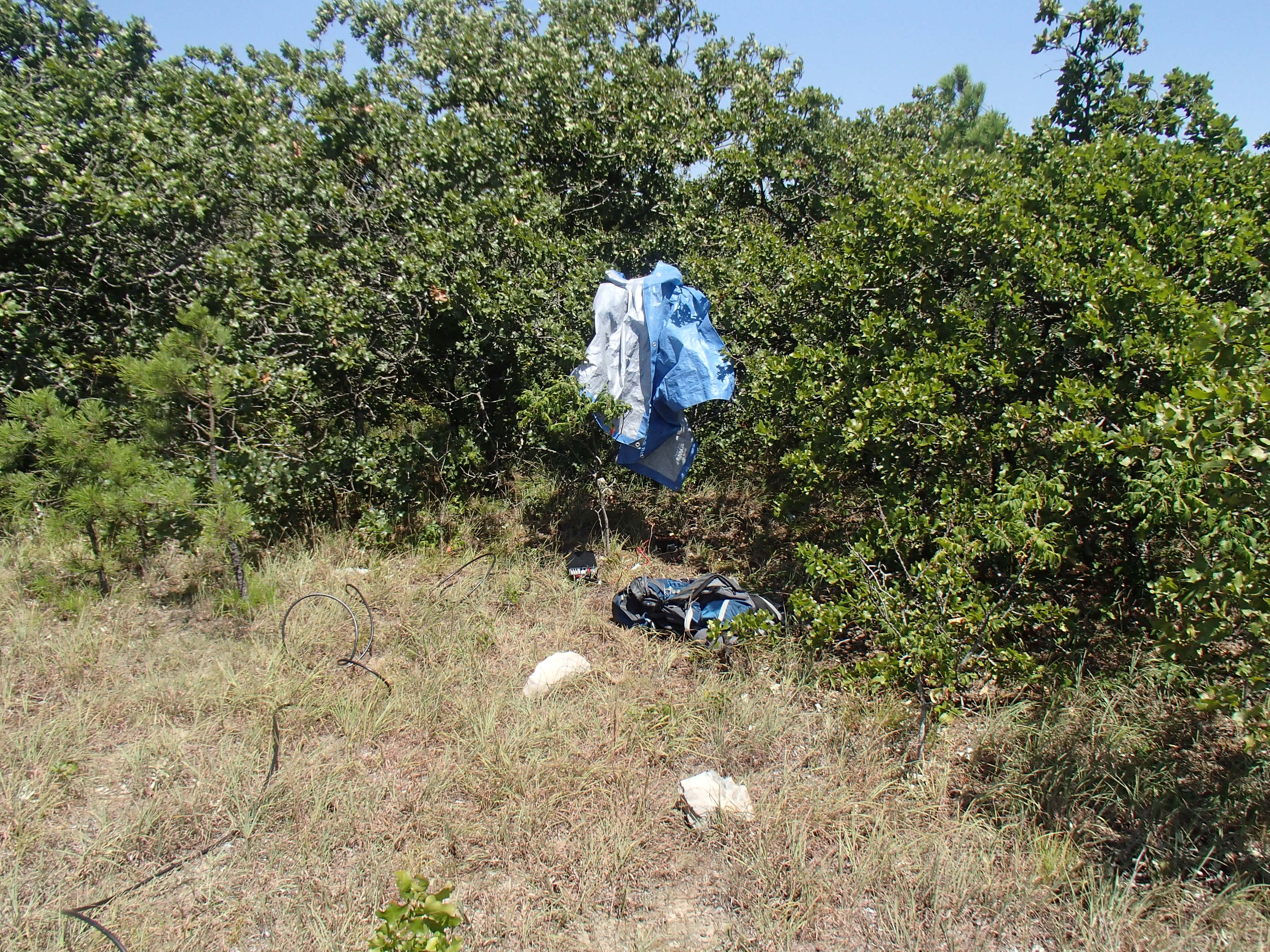
My operating
position |
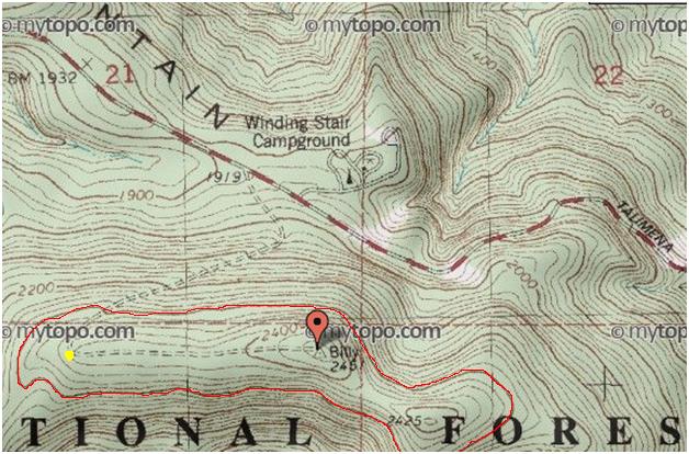
Winding Stair Mountain, W5O/OU-002
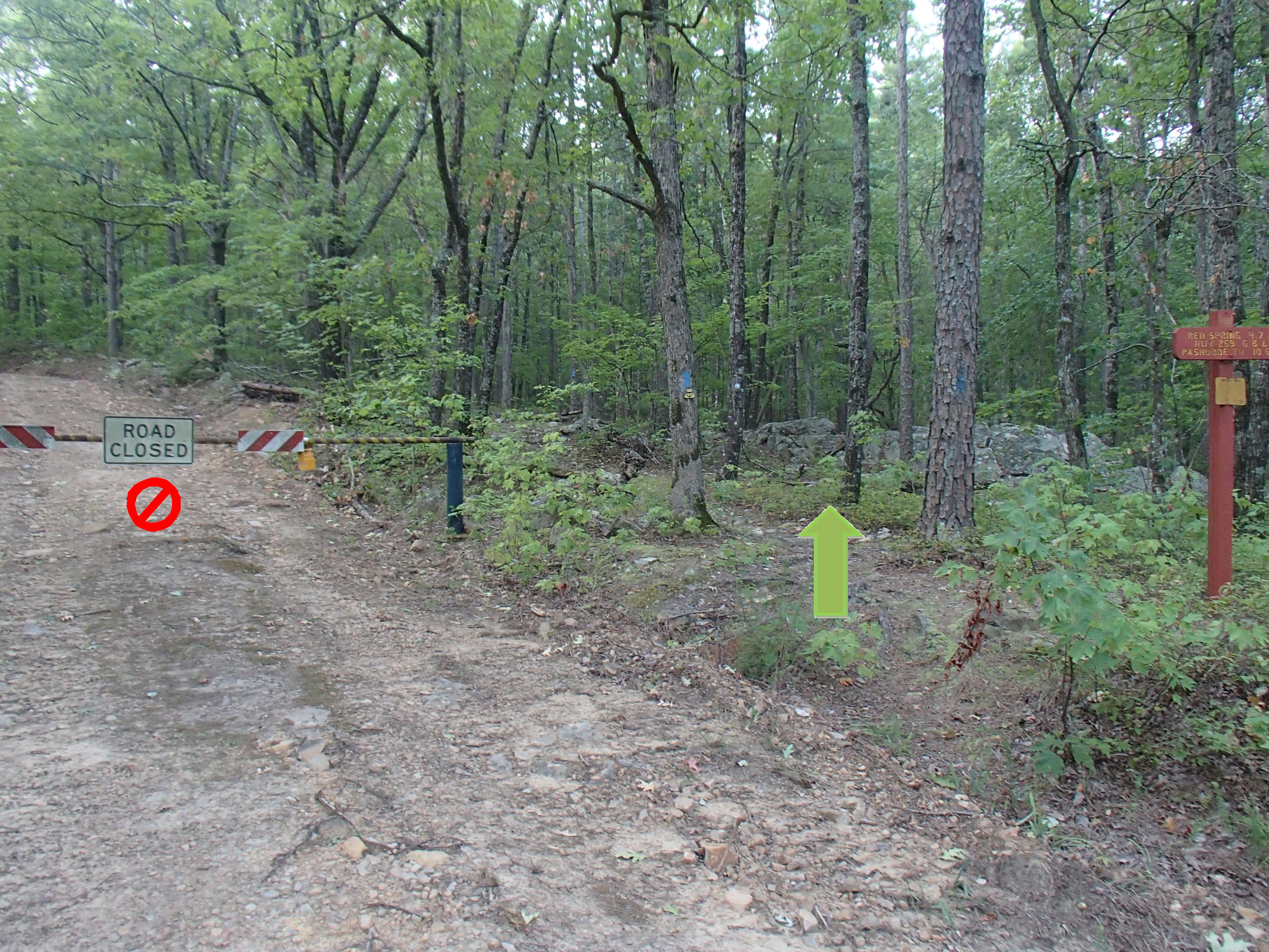
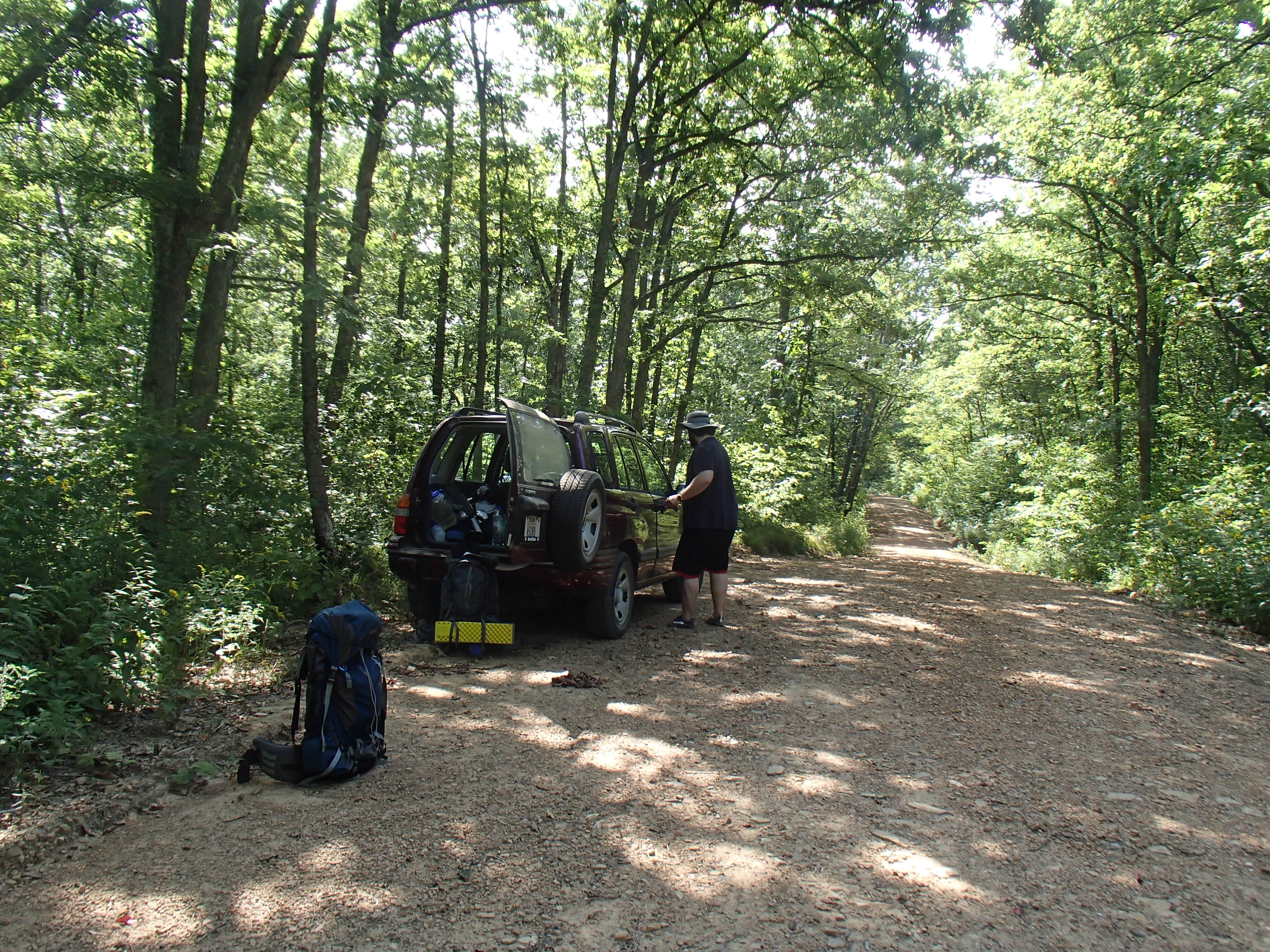
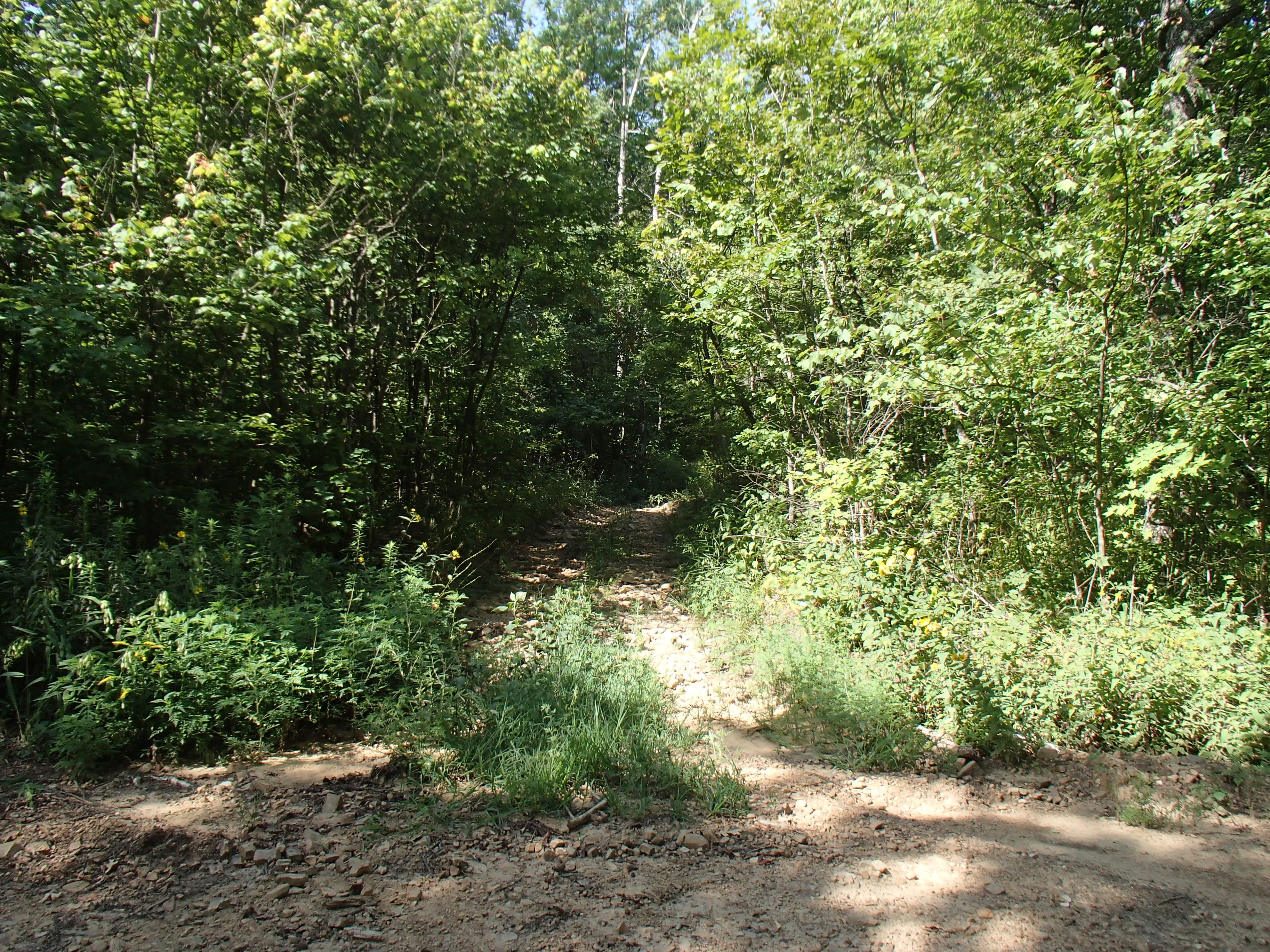
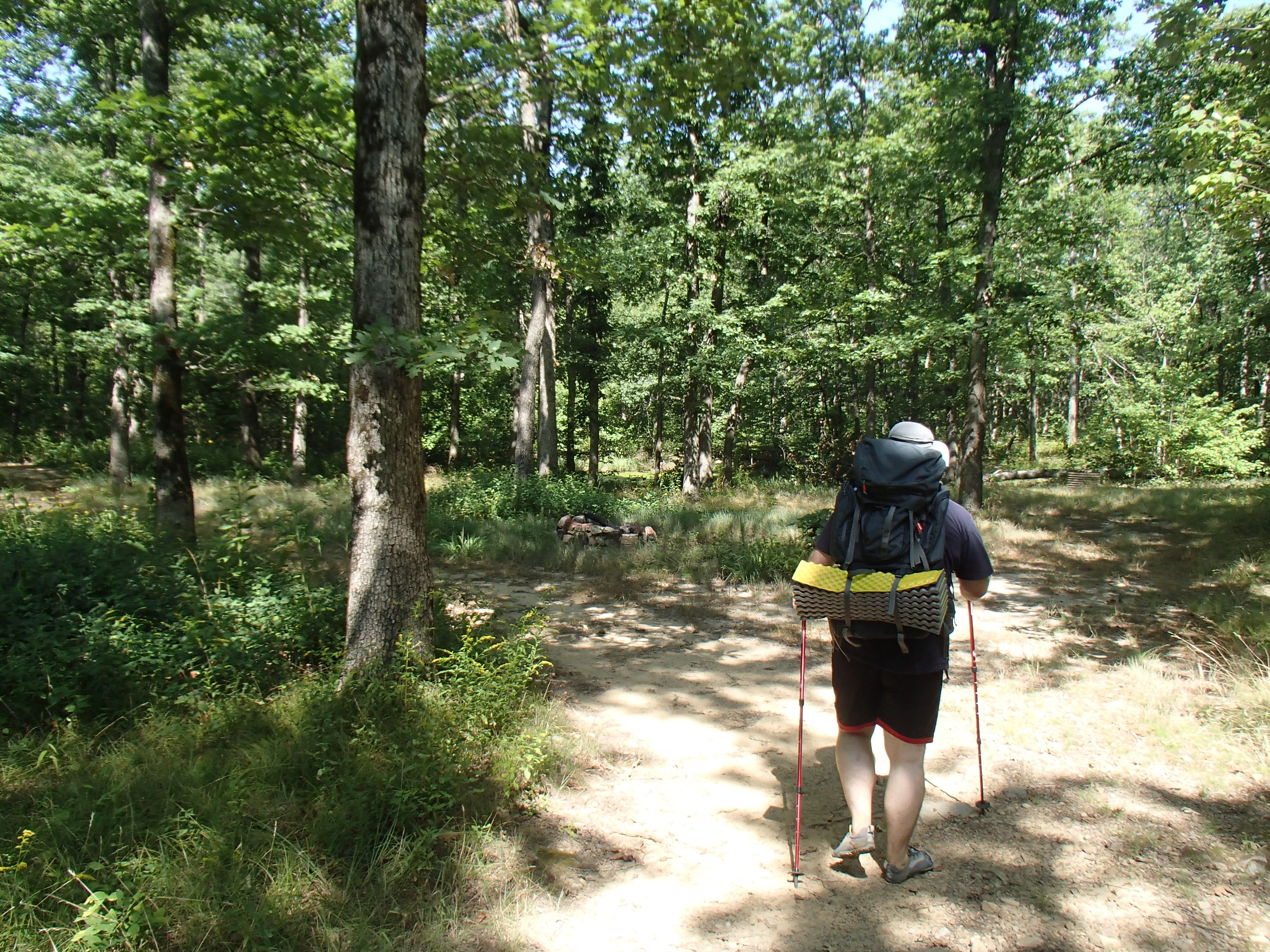
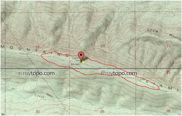
We parked the car in the Winding Stair Campground and packed our backpacks for the hike up Winding Stair Mountain. It was a little later than we would have liked, and the sun started disappearing as soon as we left the parking lot. We didn’t see the trail at first and took the road instead (see pic below). This caused us to have to hike the last half of the mountain in the dark. The trail is part of the 223 mile long Ouachita Trail.
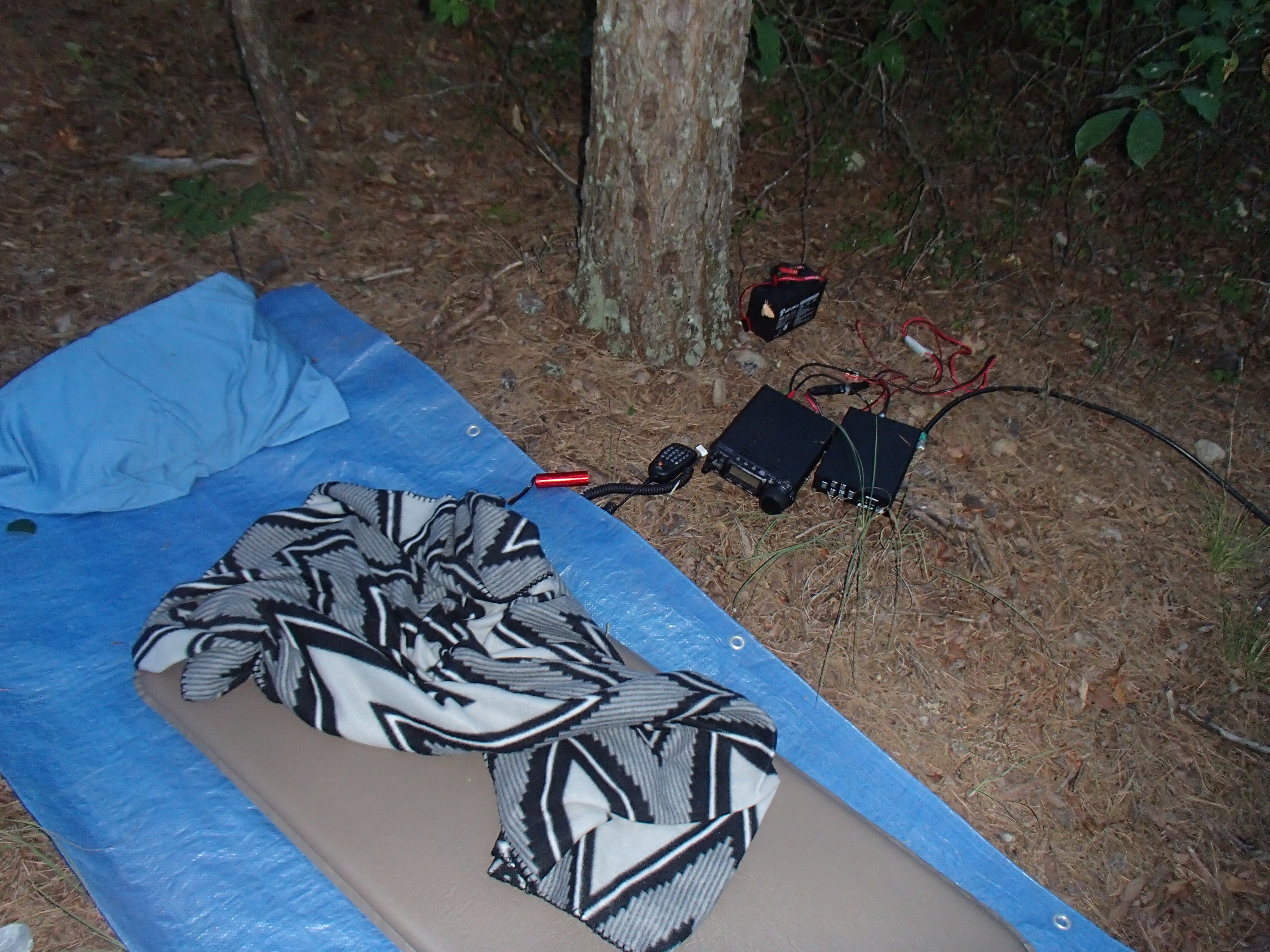
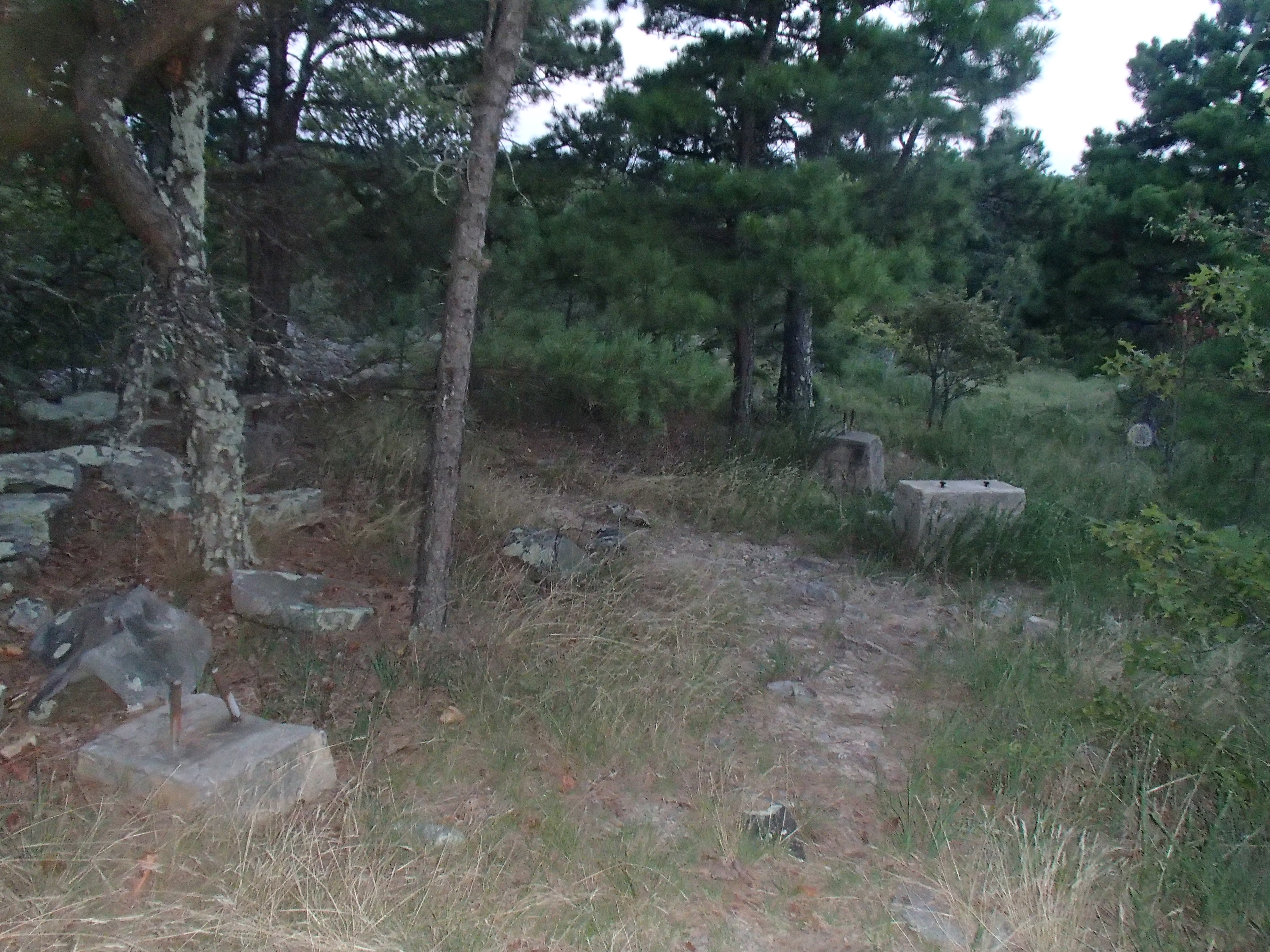
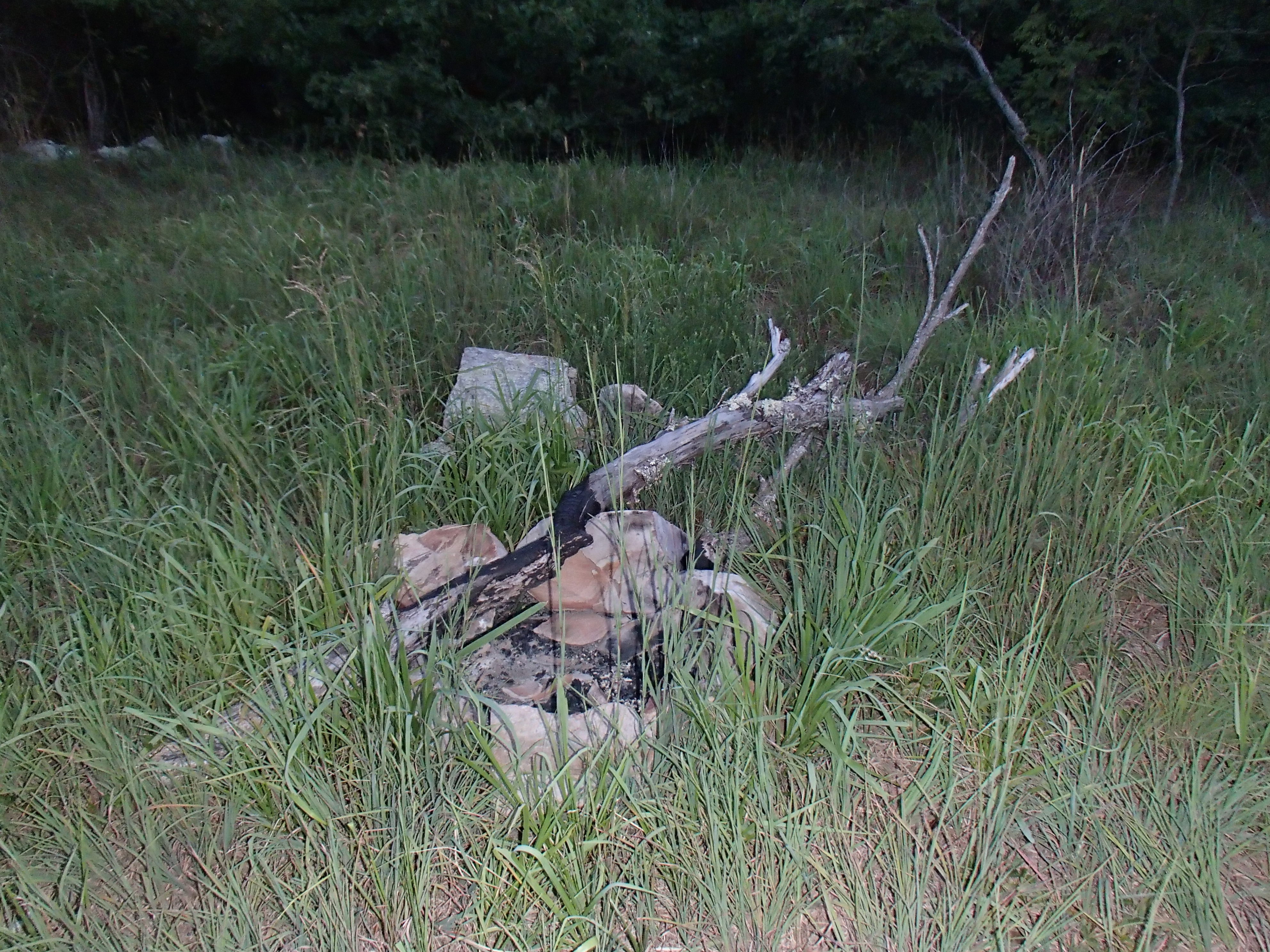
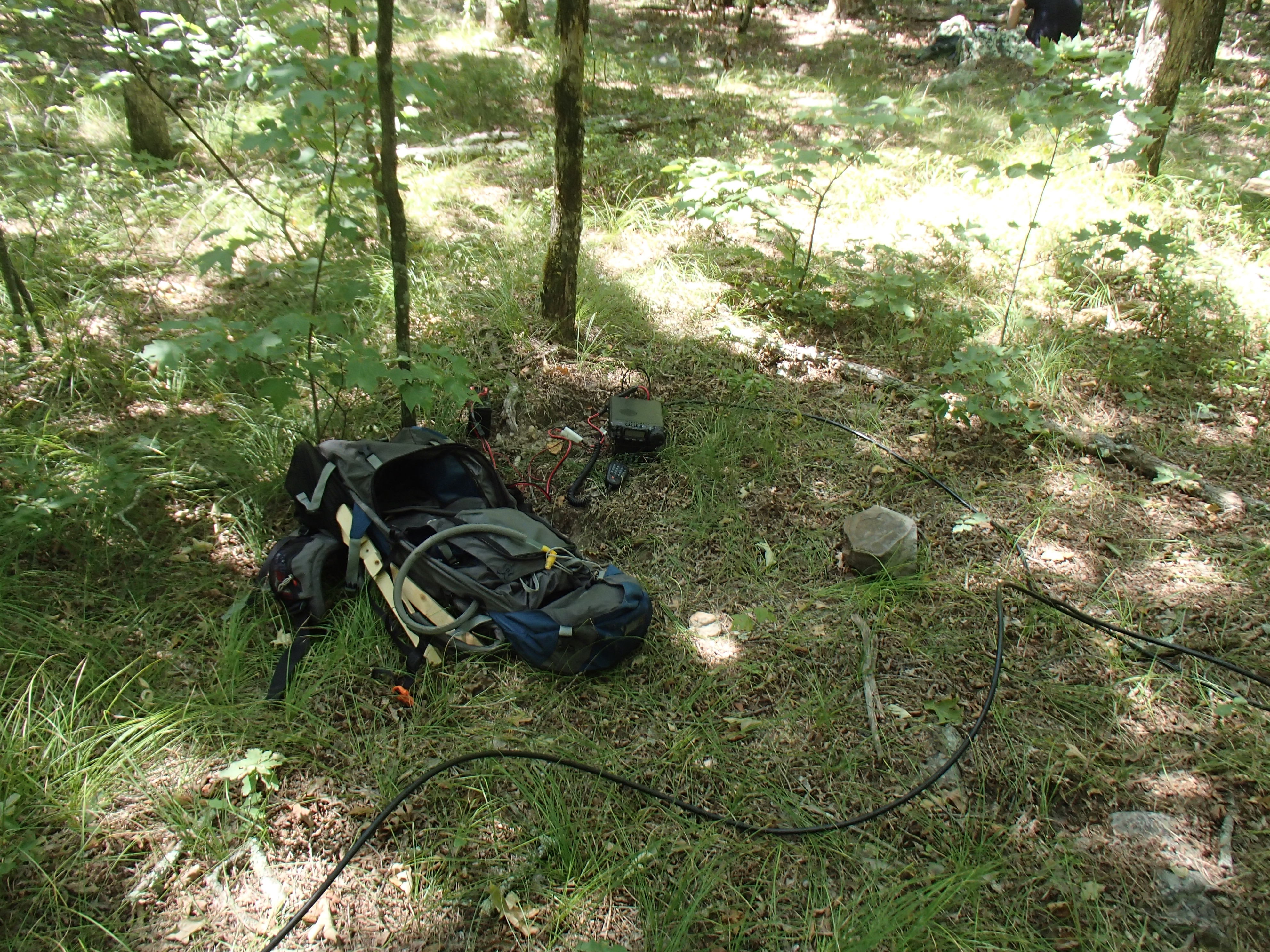
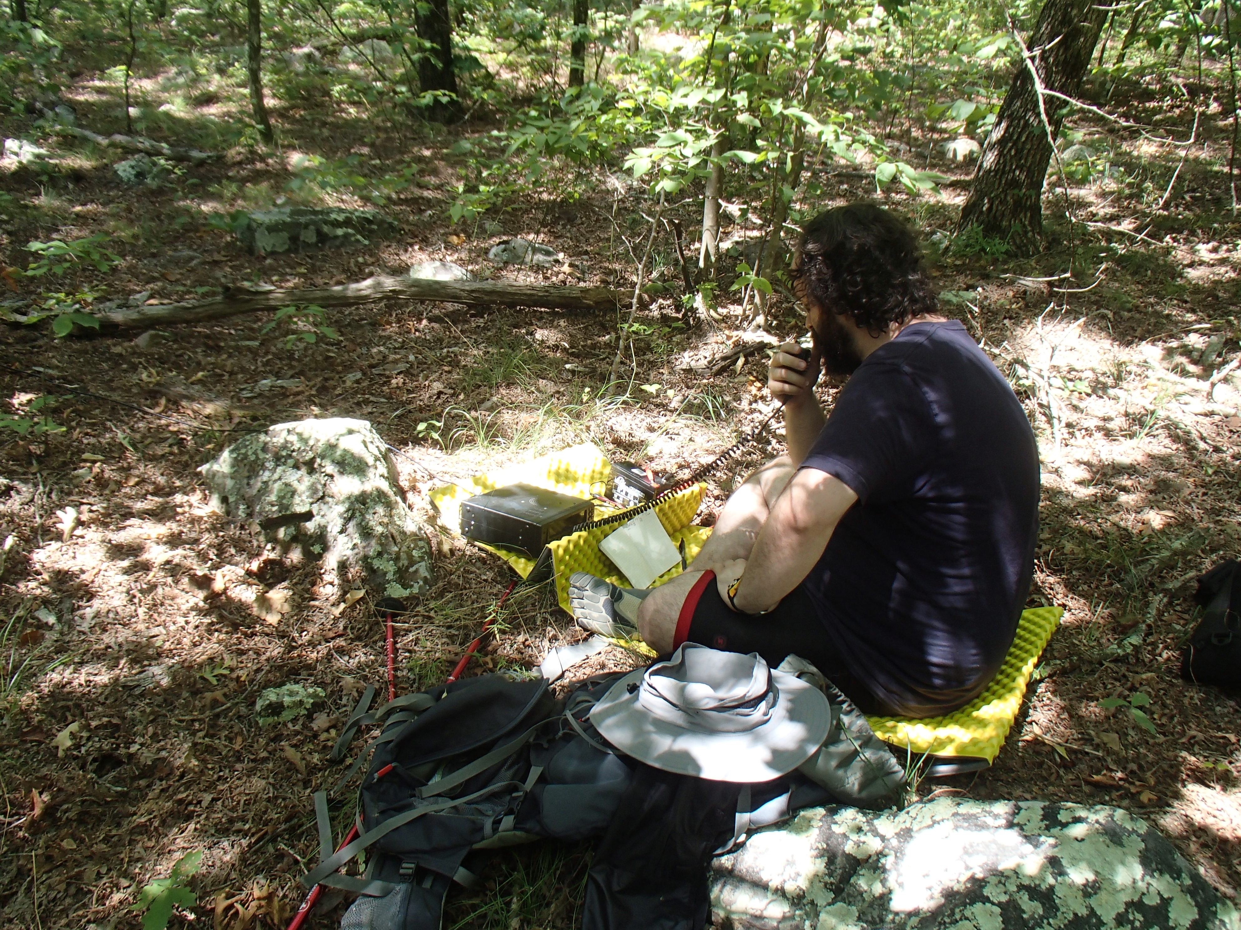
We found a flat open area where the trail leveled out and turned left and decided to camp there. The radios and antennas were set up right next to our sleeping pads and we worked the radios in the dark until the batteries ran low. I woke up at first light and decided to go see what is at the summit. It was a good thing that we didn’t try to camp there. There is an open camping area and even a fire ring, but in late summer the grass is between knee and waist high. There are concrete footings for what used to be a fire tower on the summit with steel pipe protruding from the top. An industrious ham could use this as a base to set up an antenna mast if they wanted.
|
Summit Map with Activation Zone |
|
The trail to
the top is to the right of the road |
|
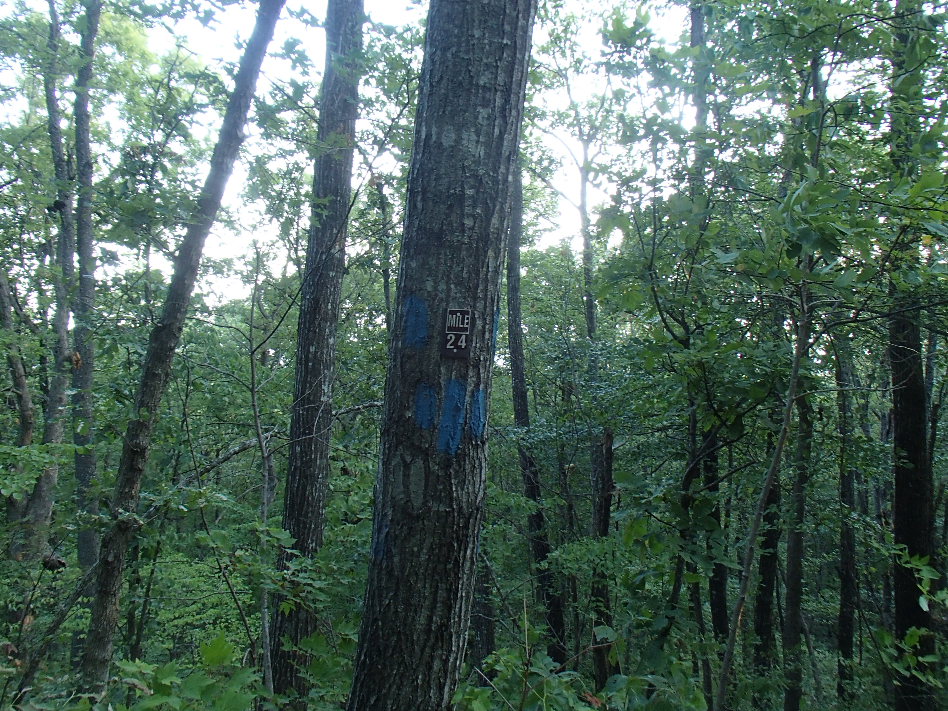
The trail is marked by blue blazes |
My Radio set up next to my bed |
My Pac-12 antenna |
|
Me at the summit marker |
Fire tower footings |
Summit camping area |


Simmons Mountain, W5O/OU-007
We planned to be the first to activate this summit, but cancelled the activation. Our plan was to drive to the north side of the Mountain on Road 6023 and hike south along the ridge to the top. We made it about 100 yards down the road and then decided that it was too rough for my SUV. Someone with a 4x4 jeep or truck with a lot of ground clearance might be able to navigate the road. The other option would be to park along the highway and either hike the road or the Ouachita Trail to the ridge. May 2013 Update: I activated this summit on May 25, 2013.
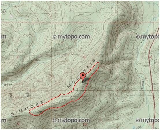
Summit Map with Activation Zone
Lynn Mountain, W5O/OU-001
This mountain is east of Highway 259 on Co Road 256/ NF 6025. From the Three Sticks Monument, follow the dirt/ gravel road for about 7 miles. There are a few rocky patches, but just about any SUV or van should be able to make the trip. The summit is south of the road up an ATV trail, but very overgrown with brush, vines and poison ivy. On the north side of the road is a camping area with several good places to set up an antenna.
|
Summit Map with Activation Zone |
Parked on the side of the road |
ATV trail to the summit |
|
Camping area |
My radio setup |
Jonathan working 40m |

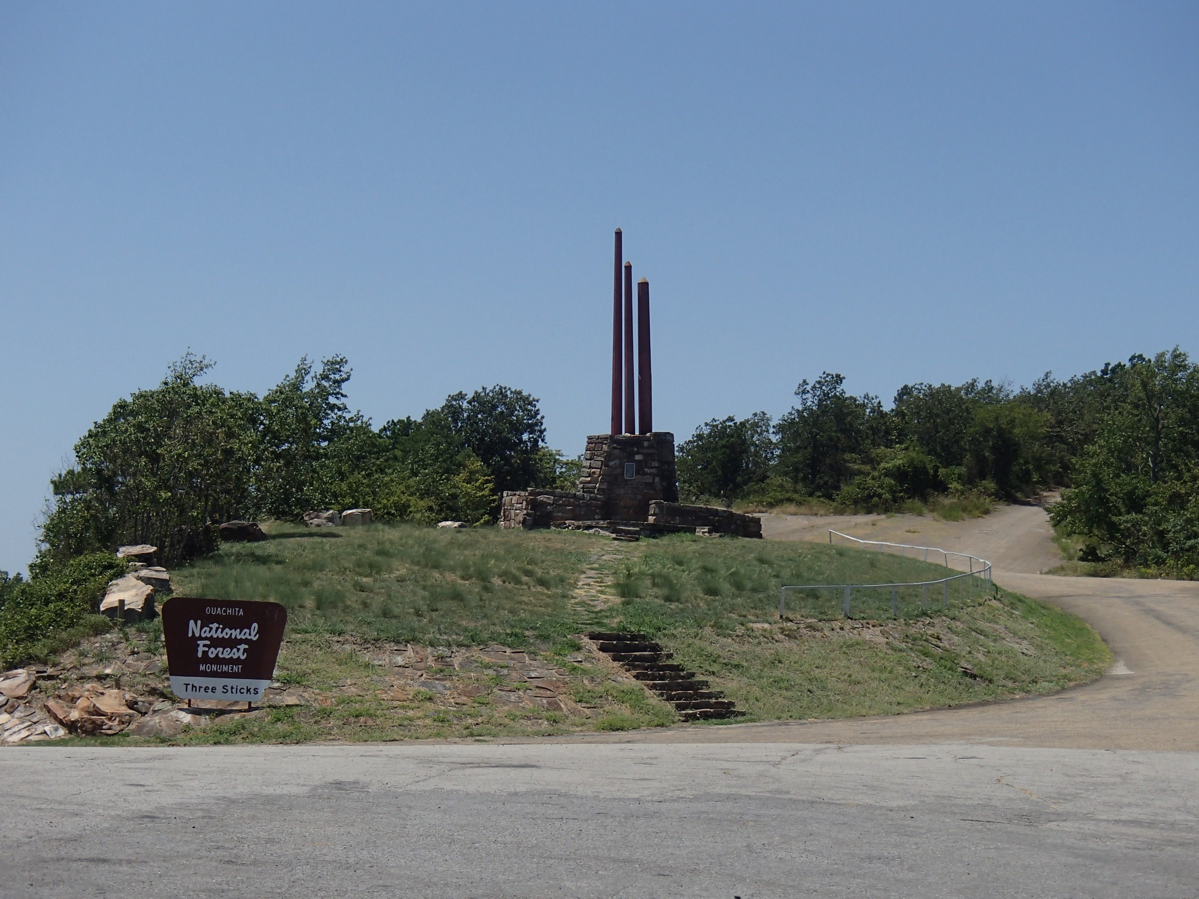
Kiamichi Mountain, W5O/KI-001
Kiamichi Mountain is about 9 miles west of the Three Sticks monument. The first six miles of dirt road is very well maintained and it would be possible to drive this with most passenger vehicles. The next two miles are fairly rocky and most SUV type vehicles shouldn’t have any trouble with it. The last mile is very steep and rocky and should only be attempted by someone with off-road experience. I was able to drive my SUV to the top, but I would not do it again without a 4x4.
|
Summit Map with Activation Zone |
Three Sticks Monument |
This building is at mile 6, Park here to hike |
|
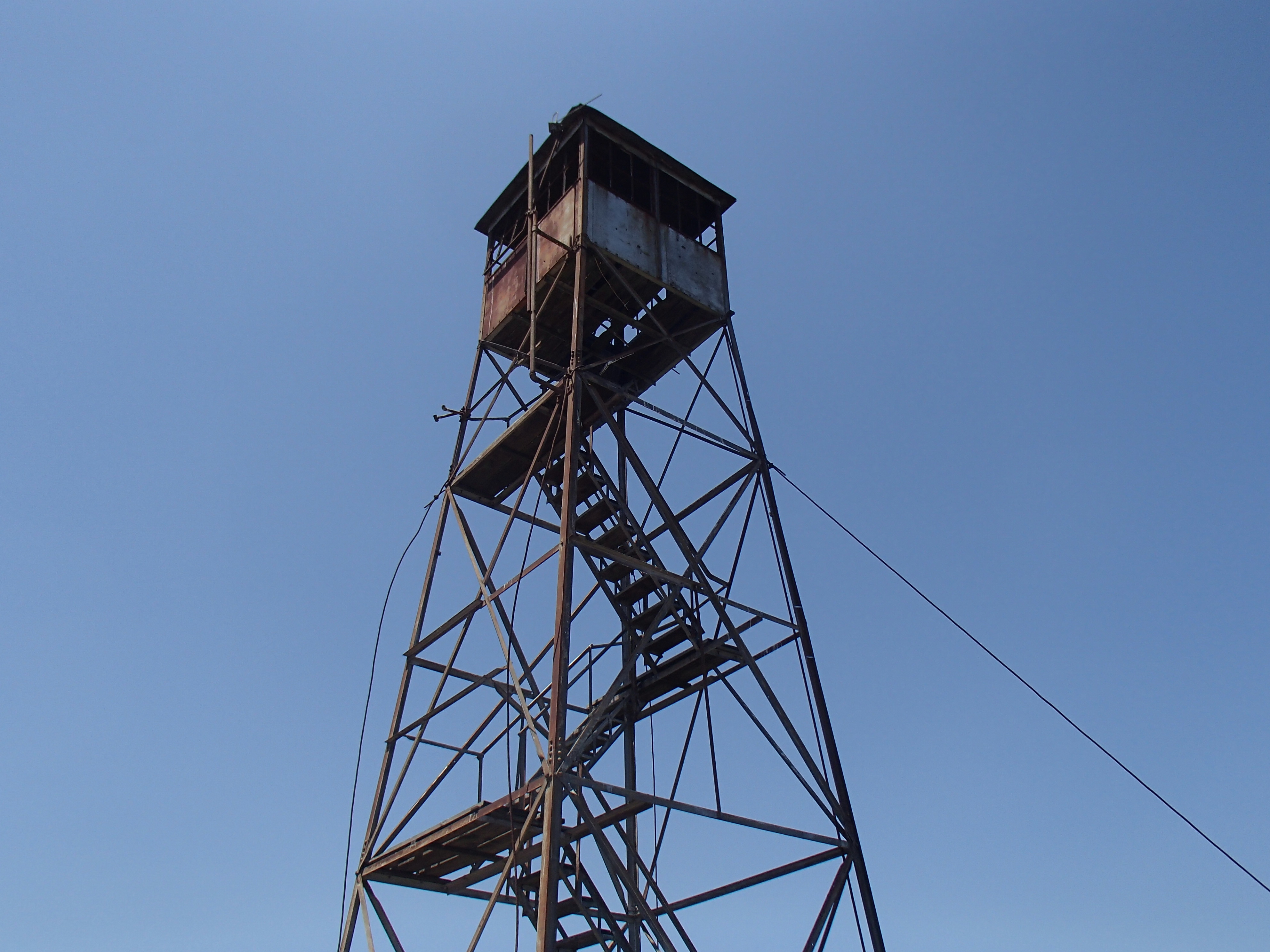
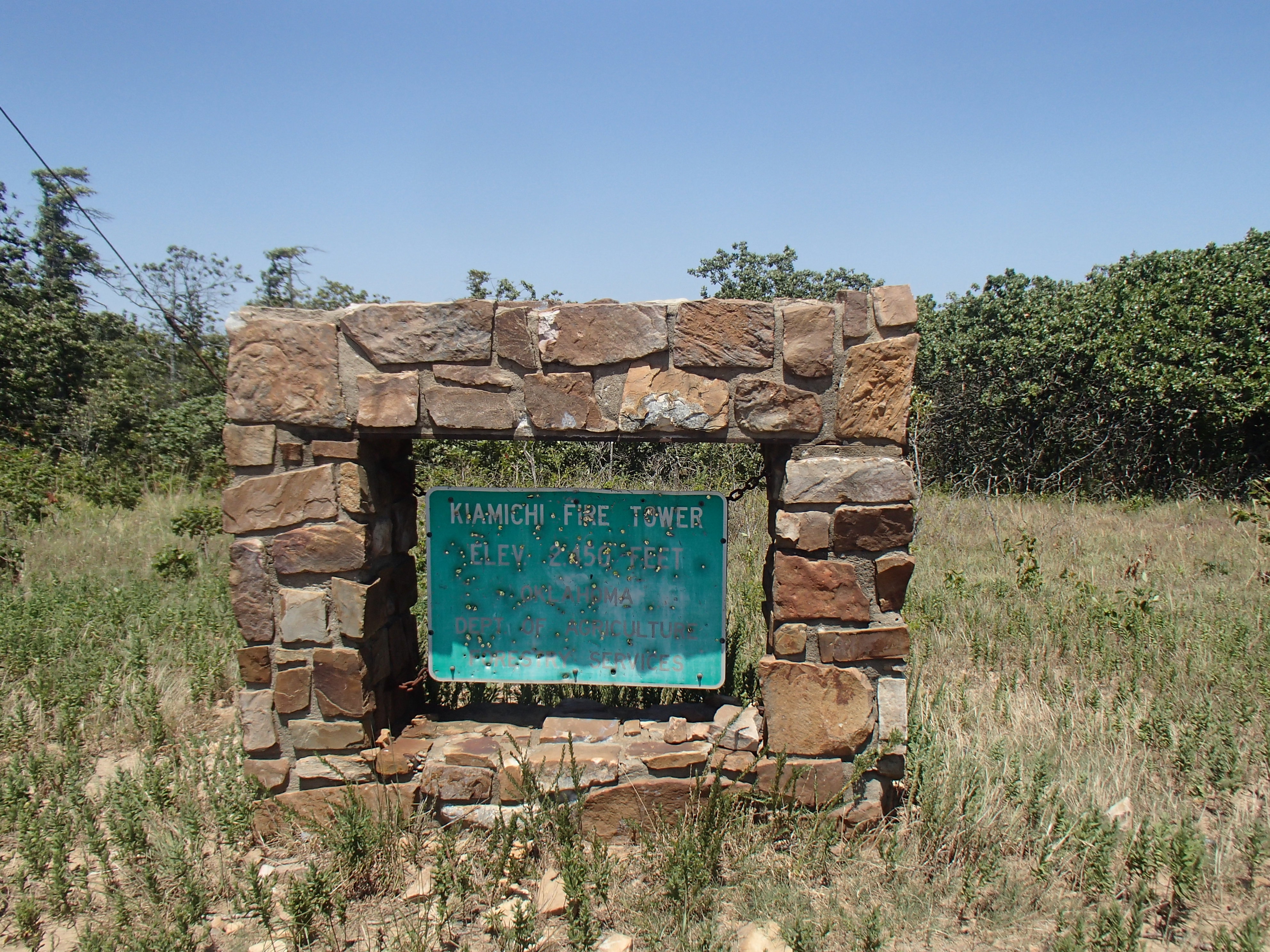
Fire tower on the summit |
Fire tower sign |
Setup in the trees |
© 2013, Stephen Denison
Last Updated: May 26, 2013